Tsukui Lake (Shiroyama Dam) and Miyagase Lake (Miyagase Dam) are valleys inundated by dams built for flood control. Traces of everyday life—including the Arakawa and Nakazawa settlements—have been preserved beneath the water’s surface for more than half a century.
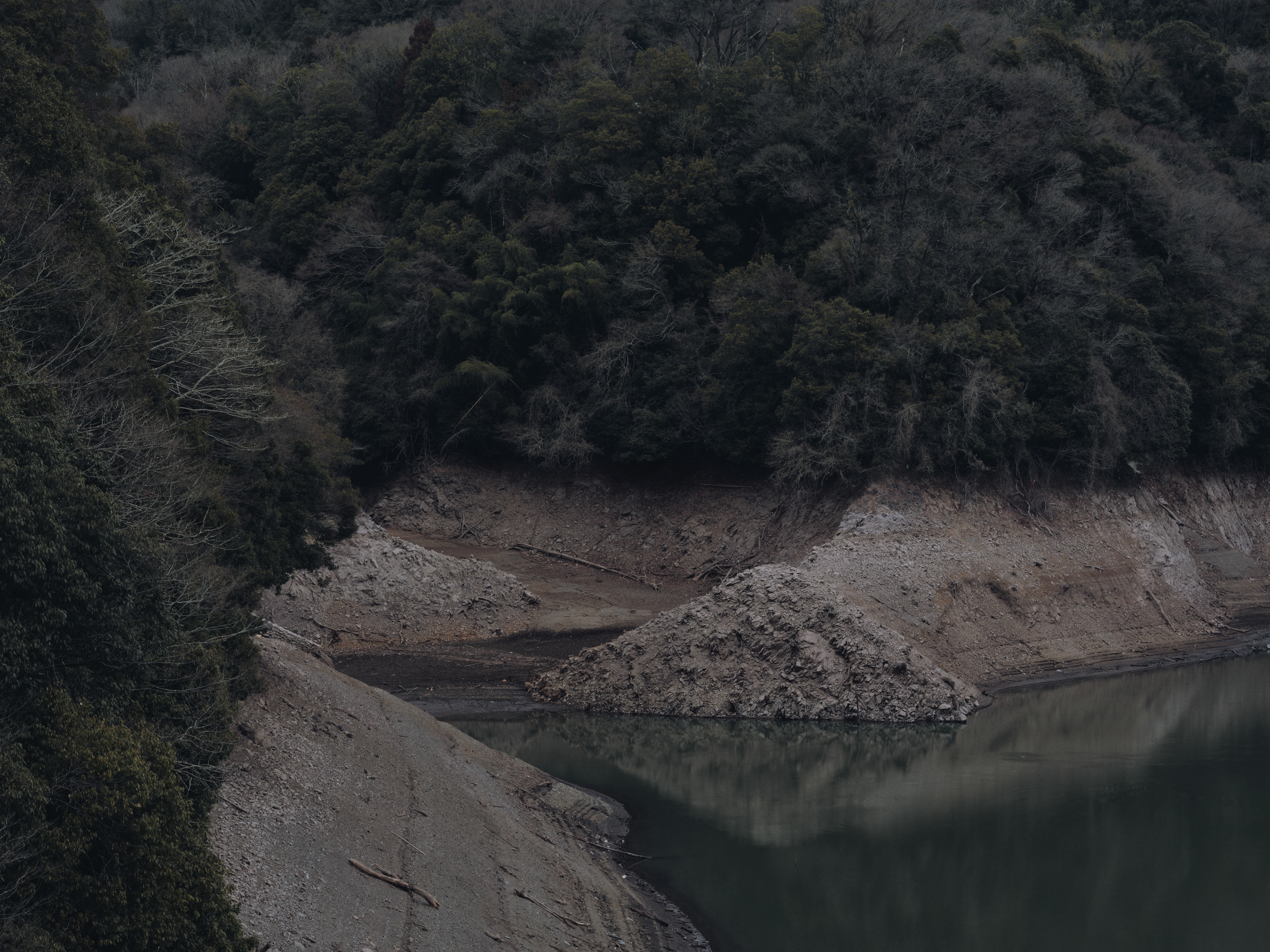
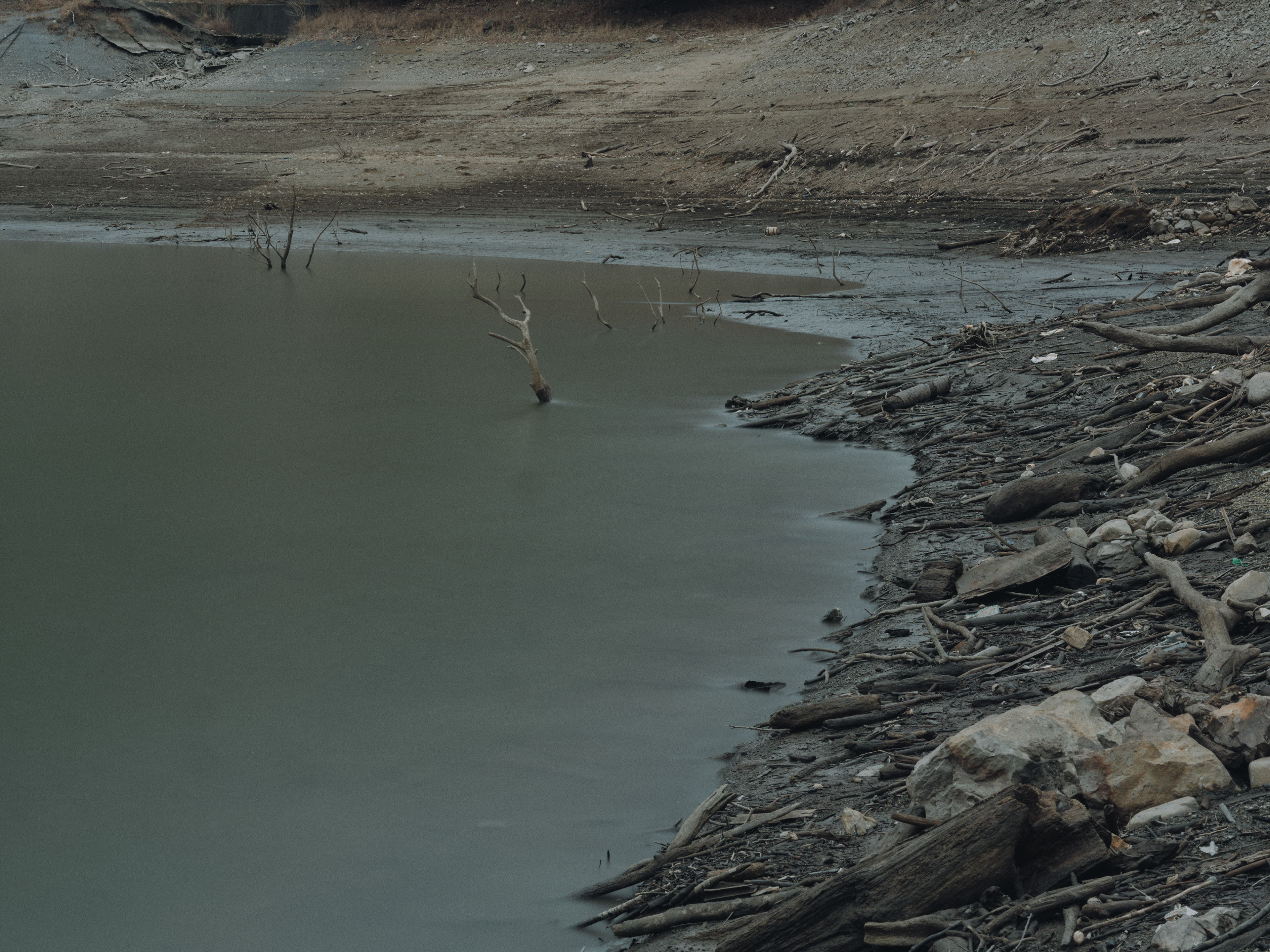
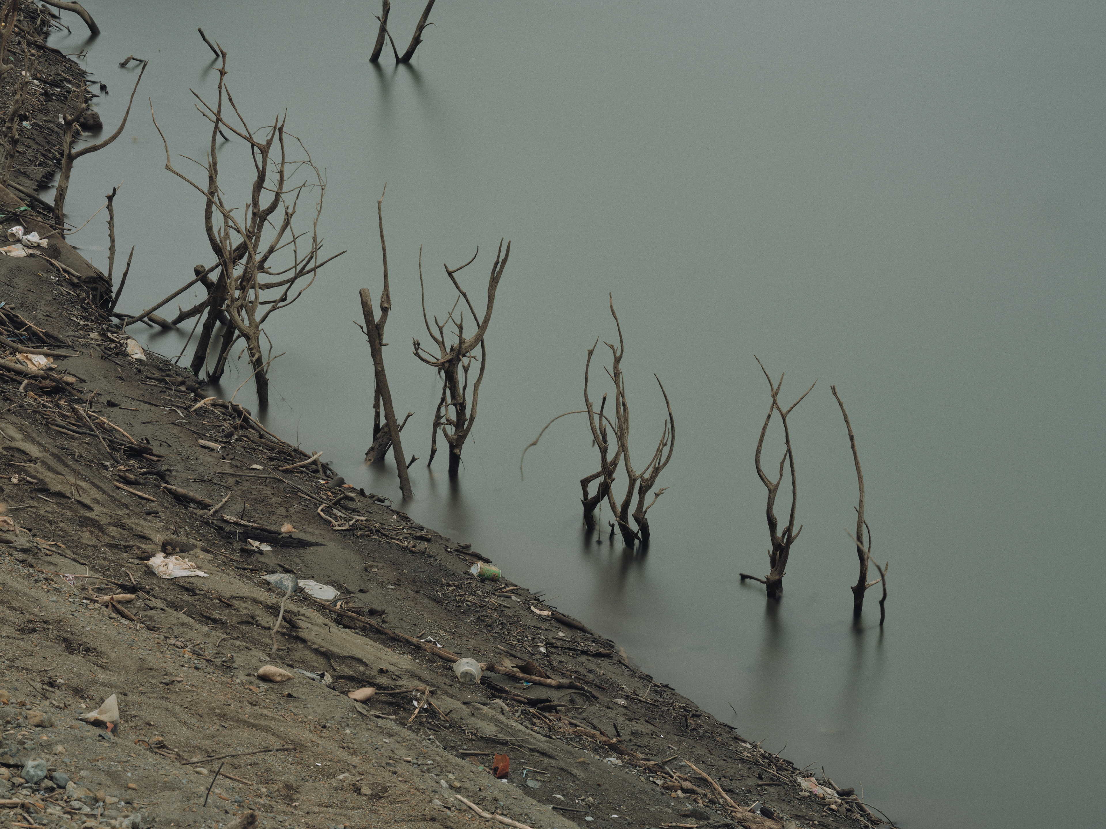
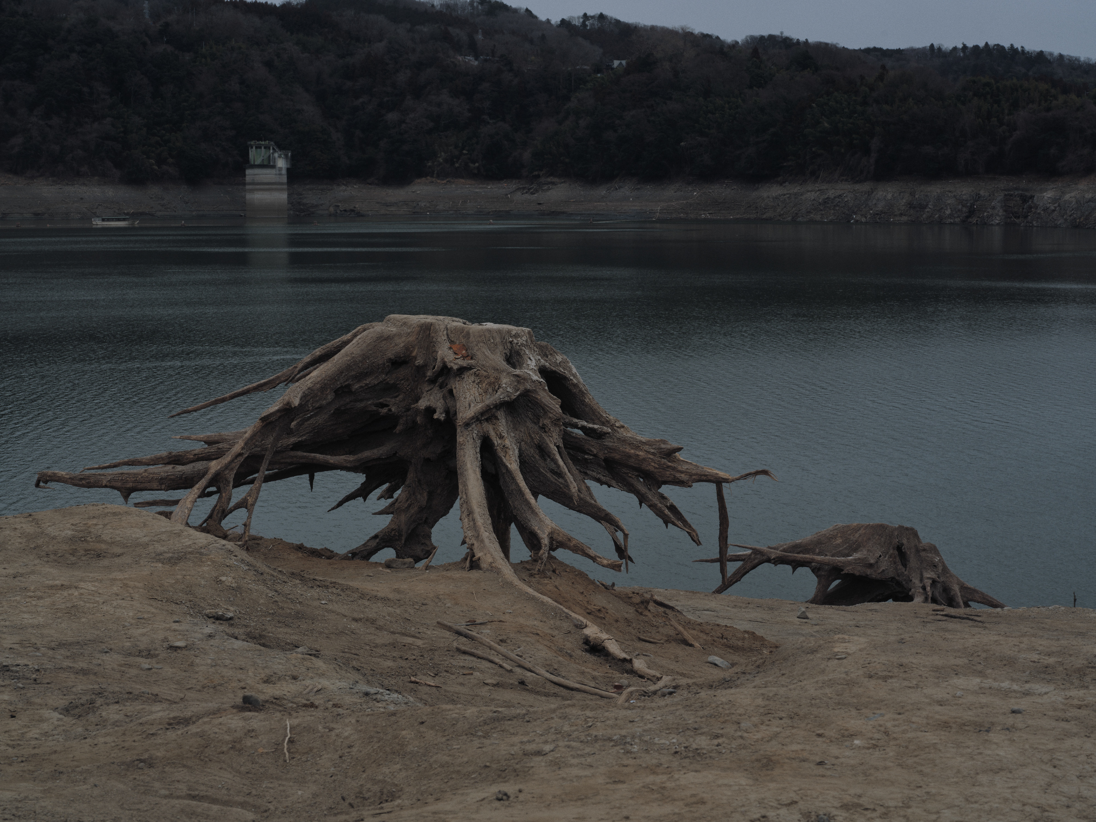
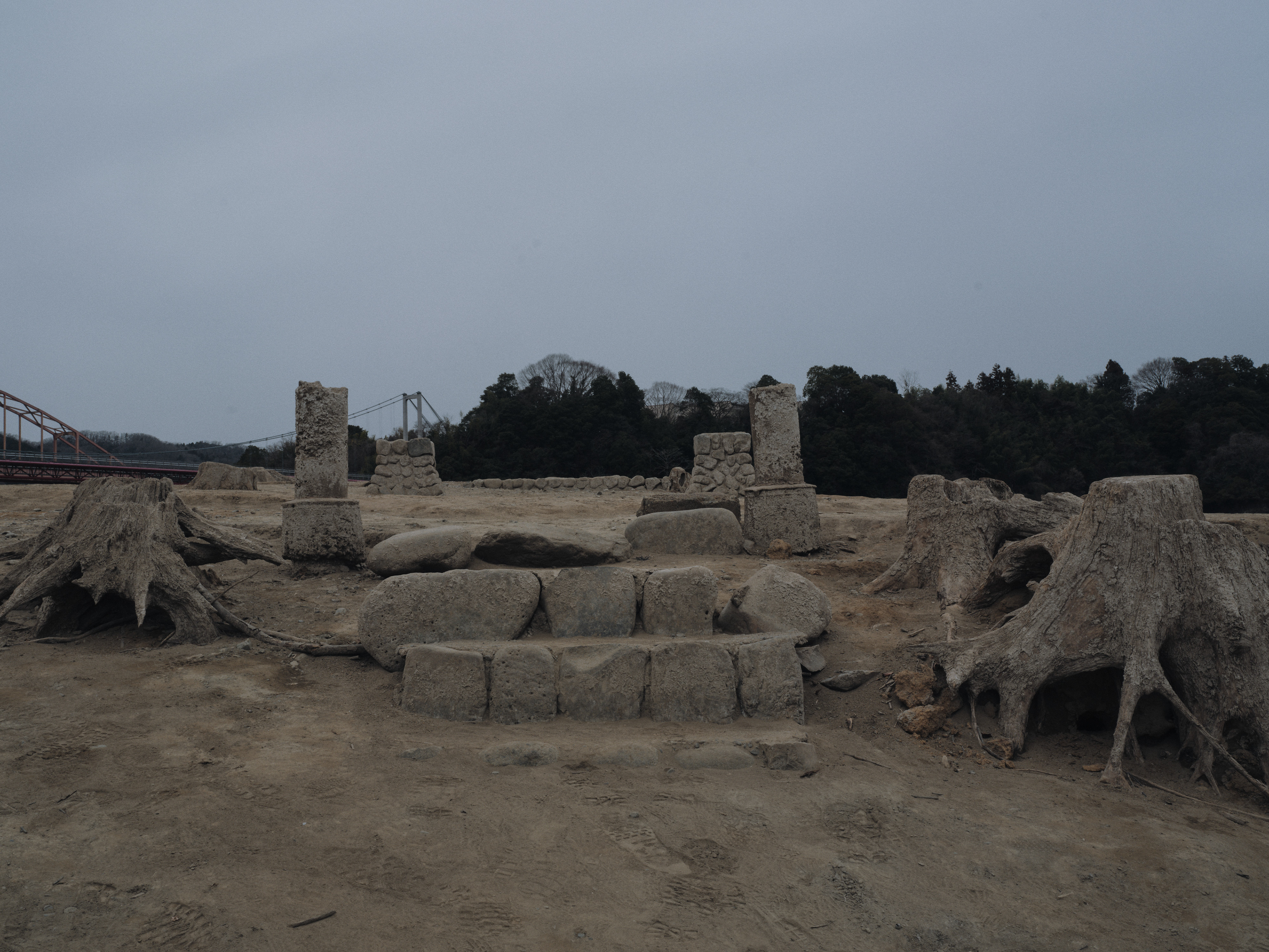
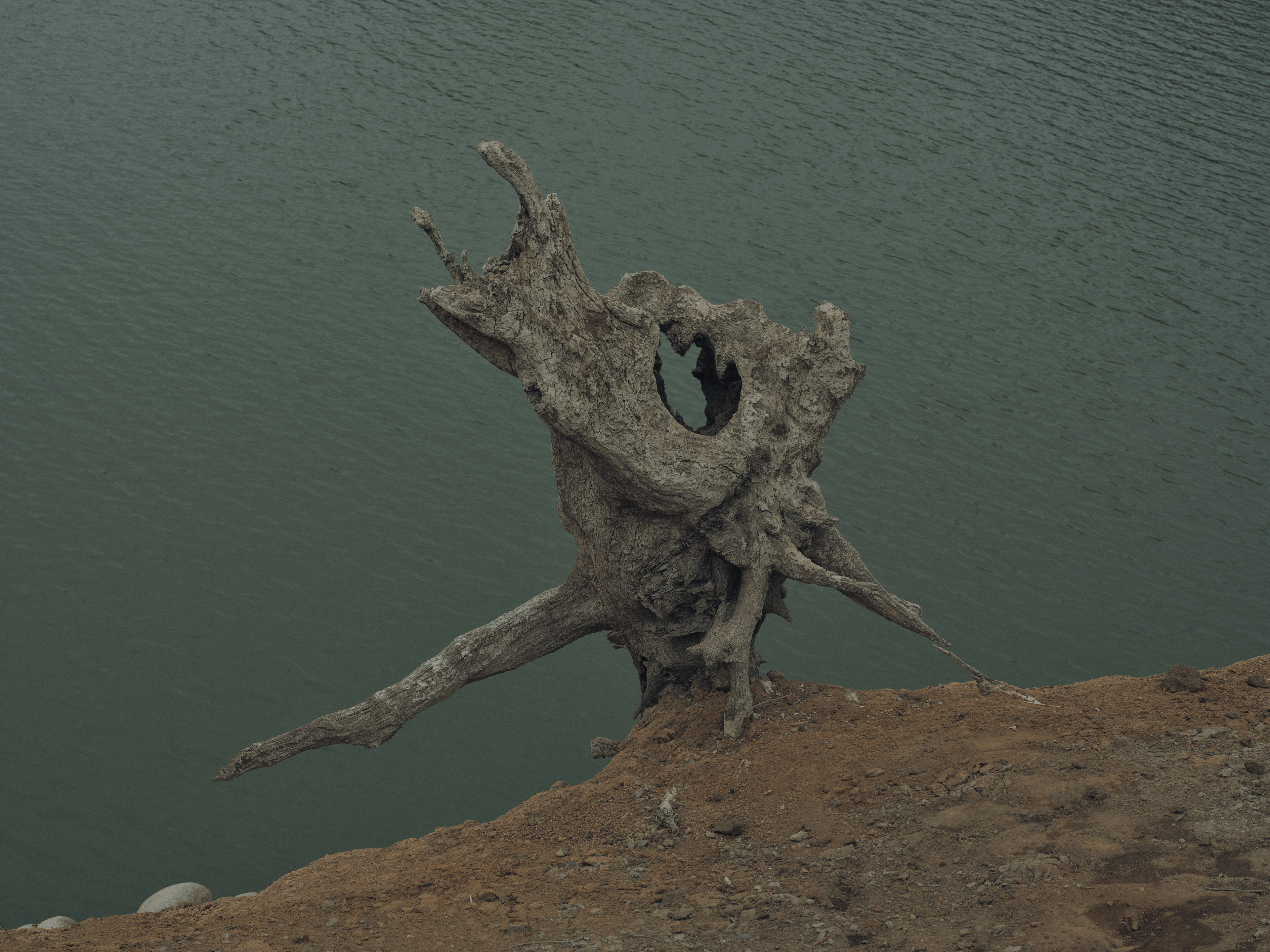
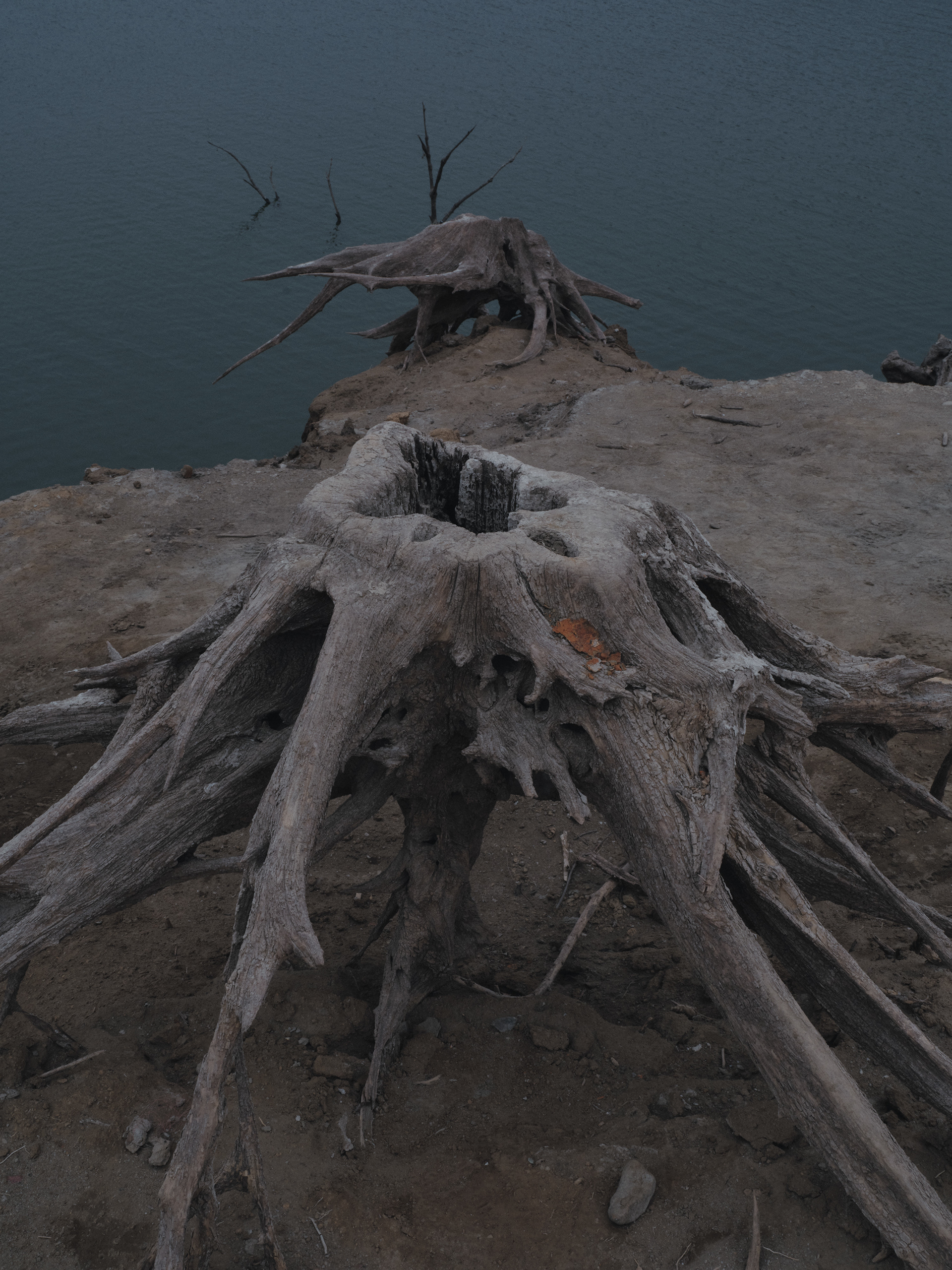
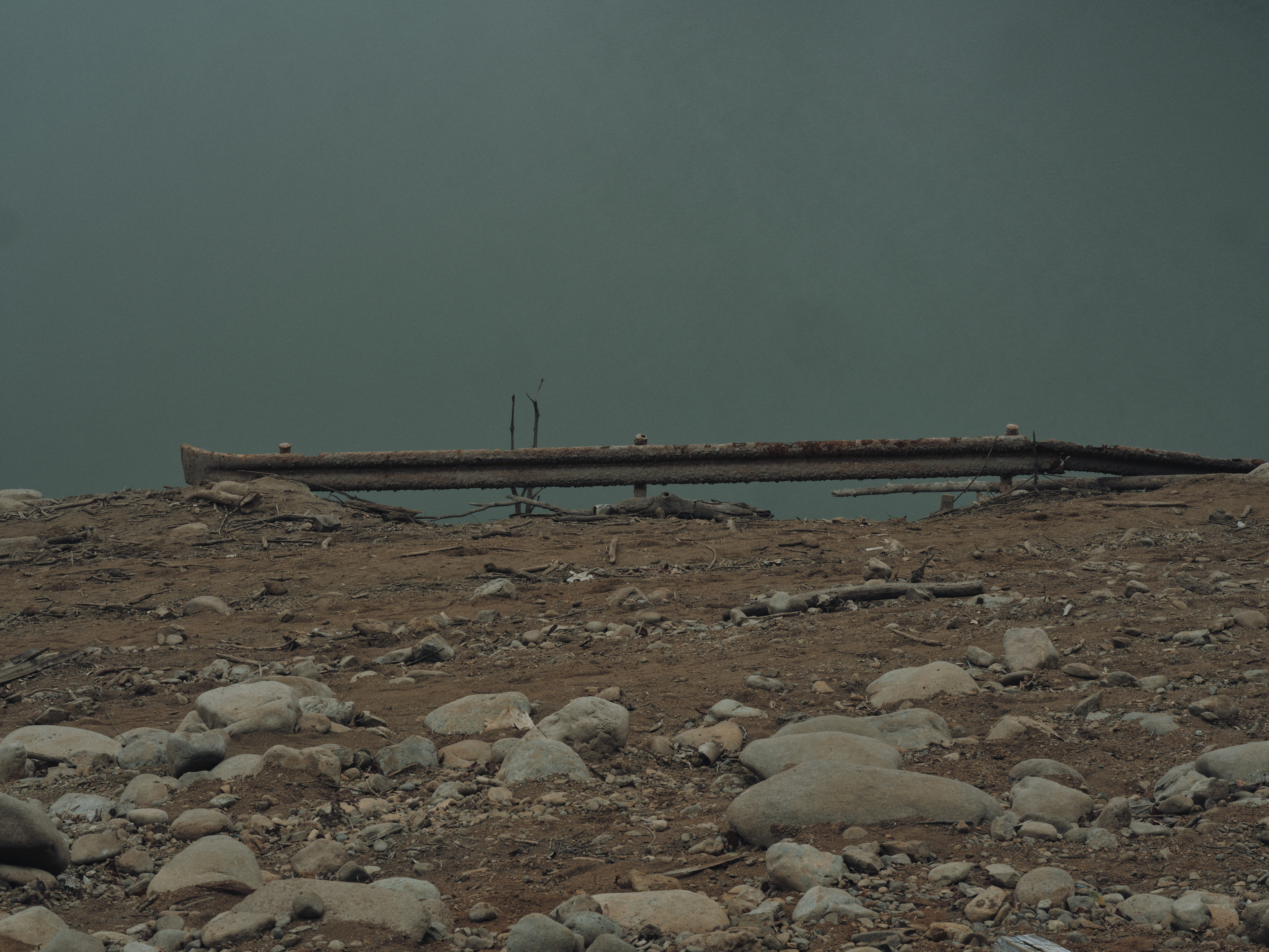
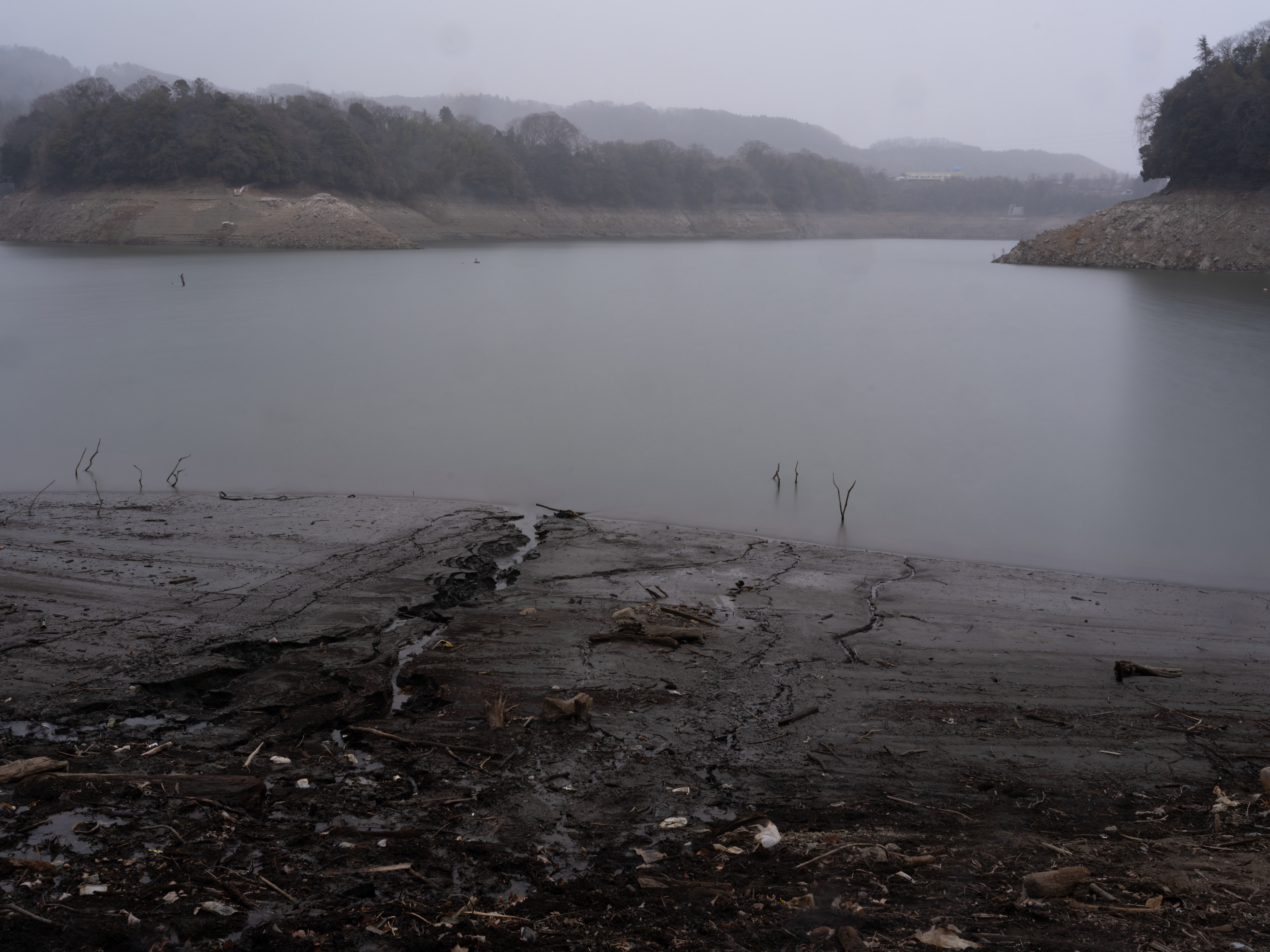
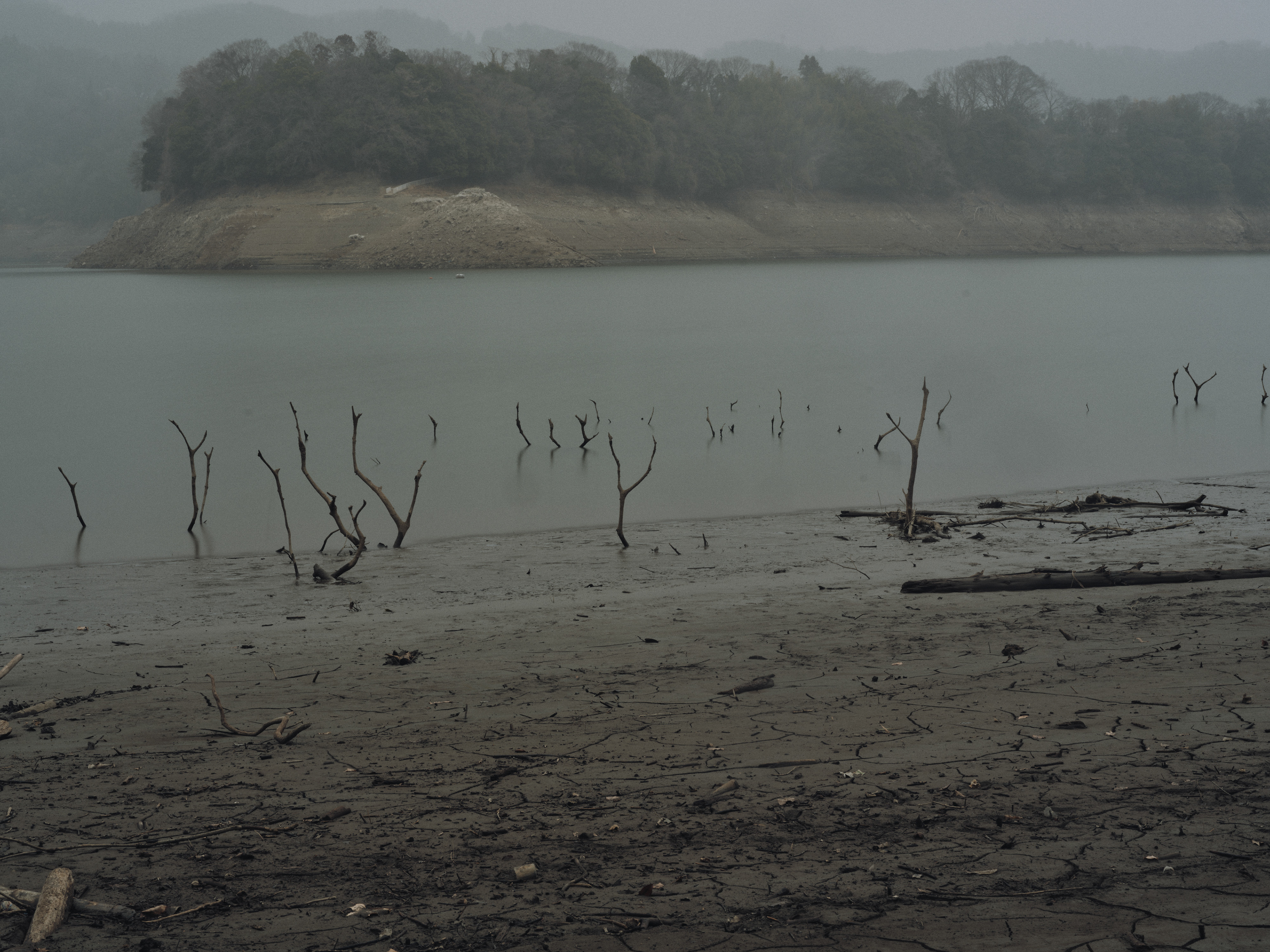
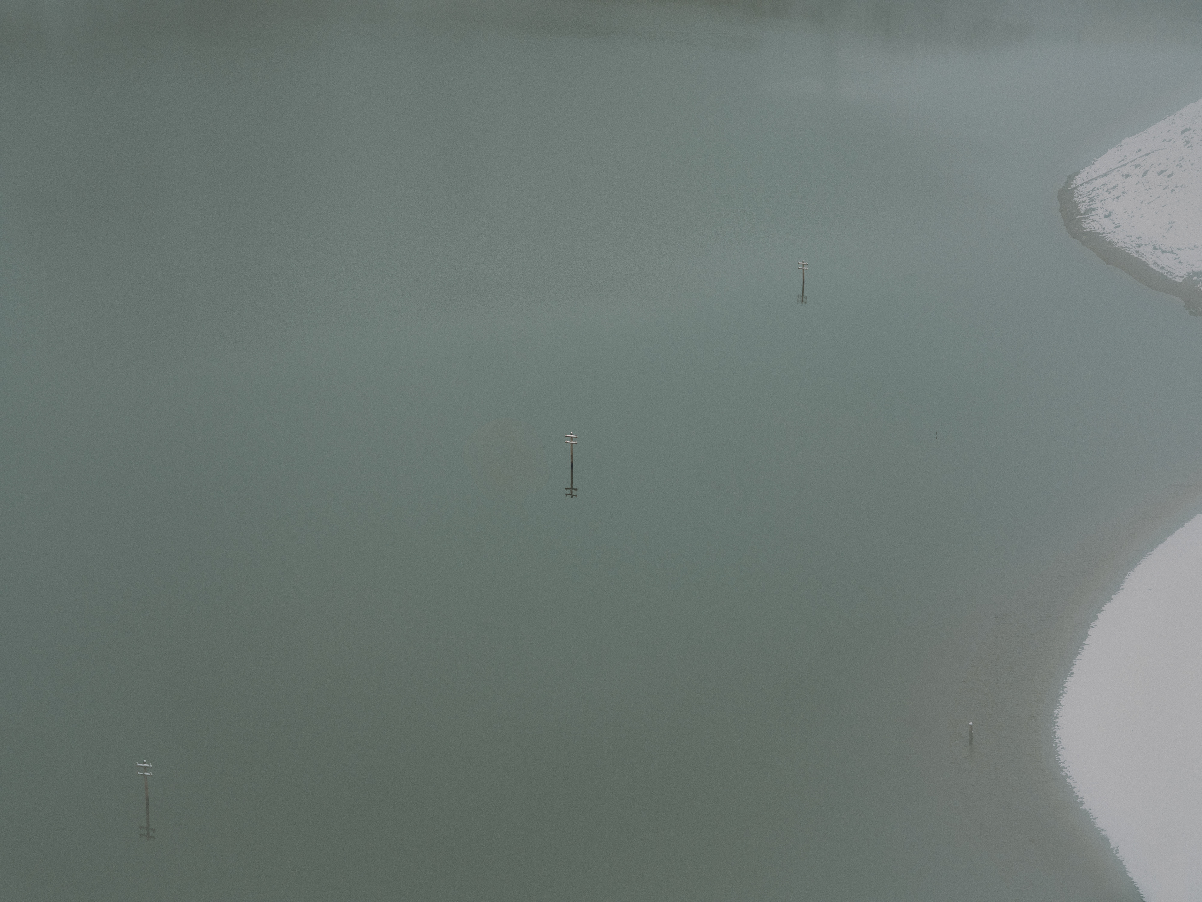
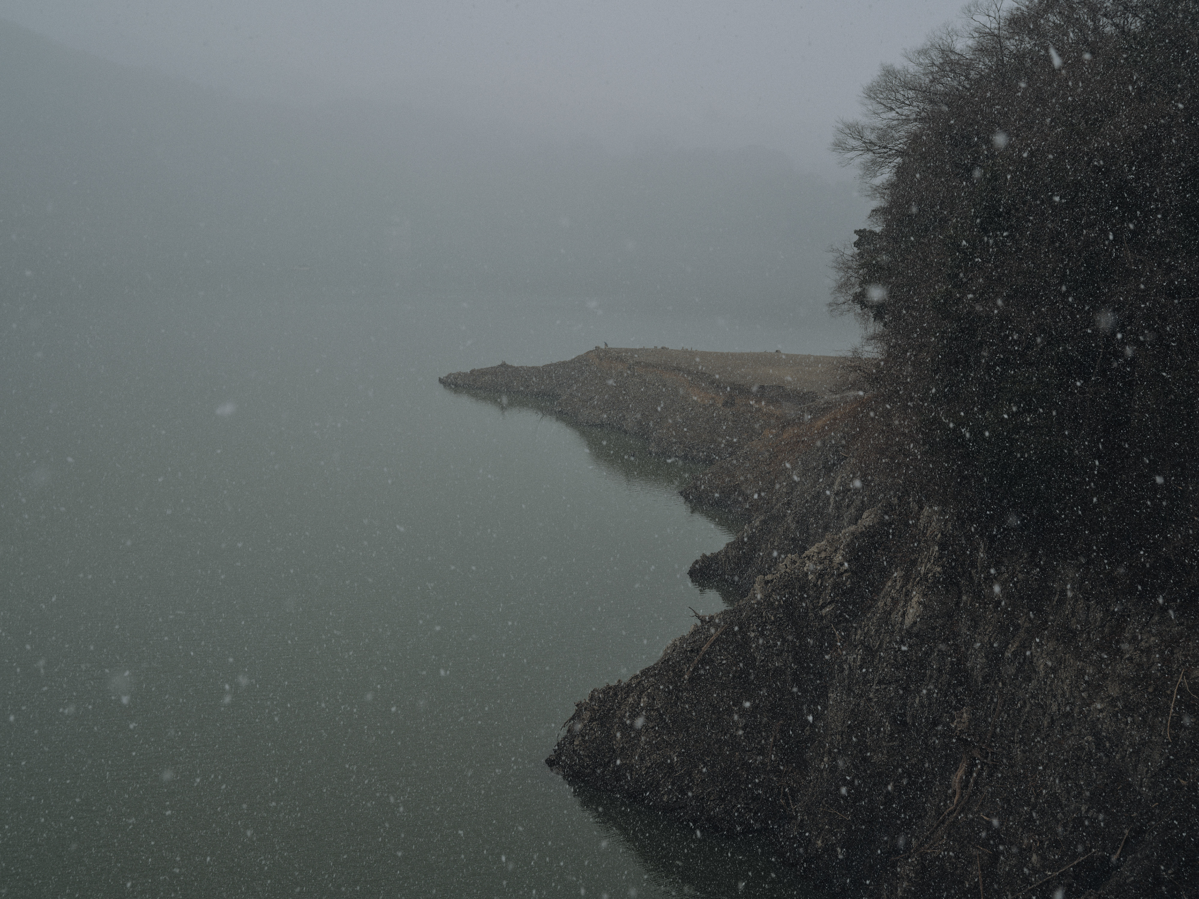
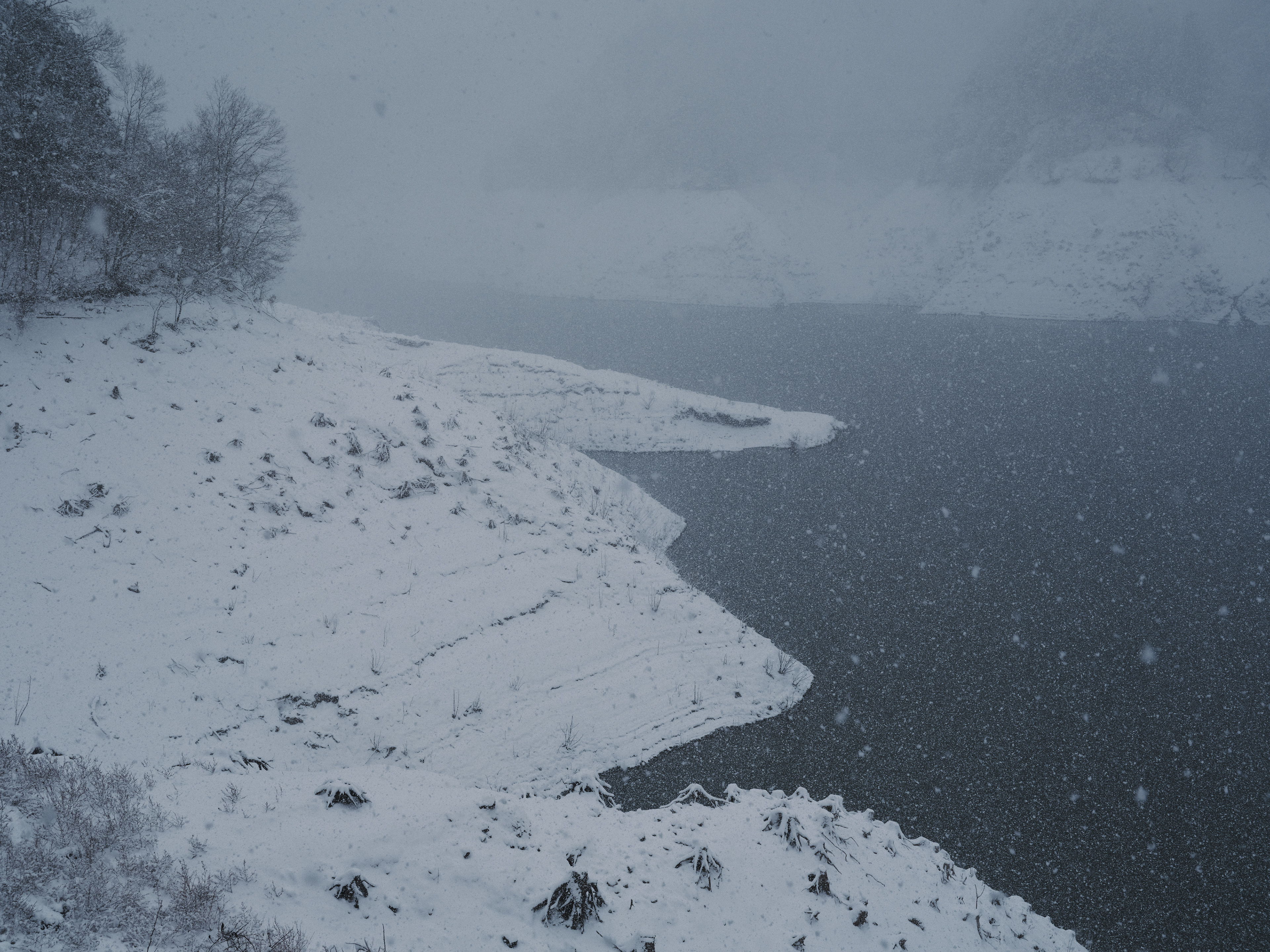
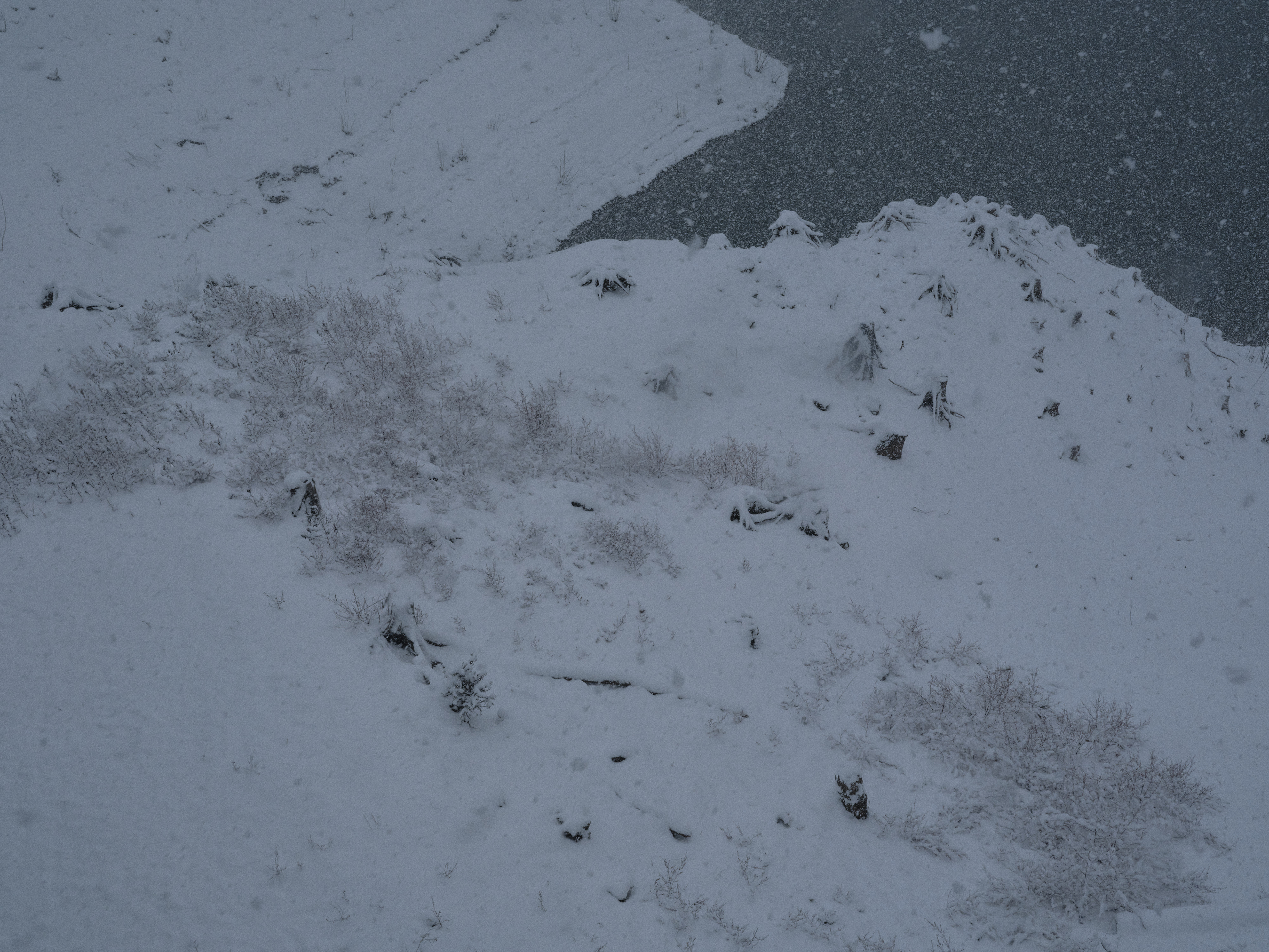
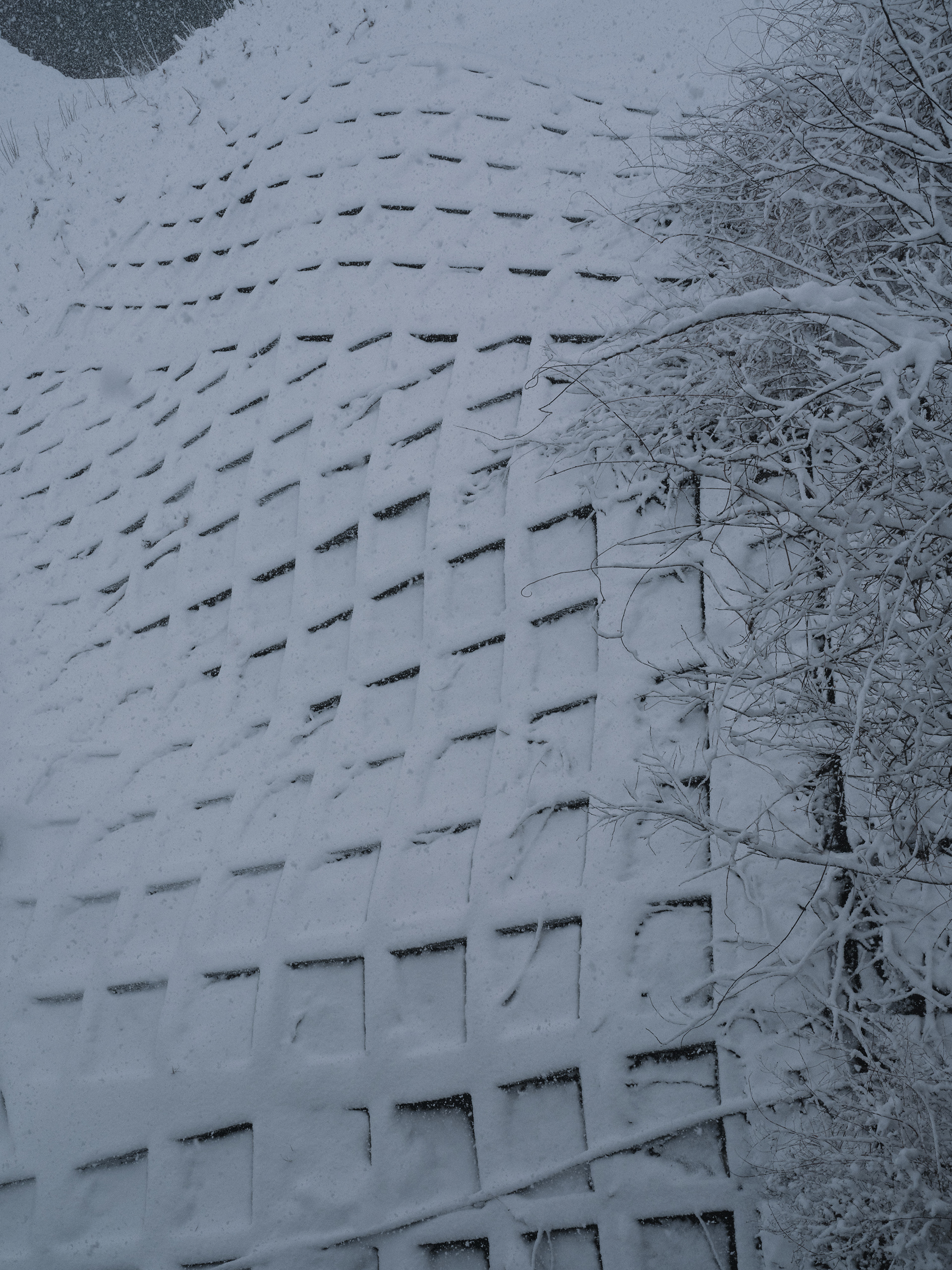
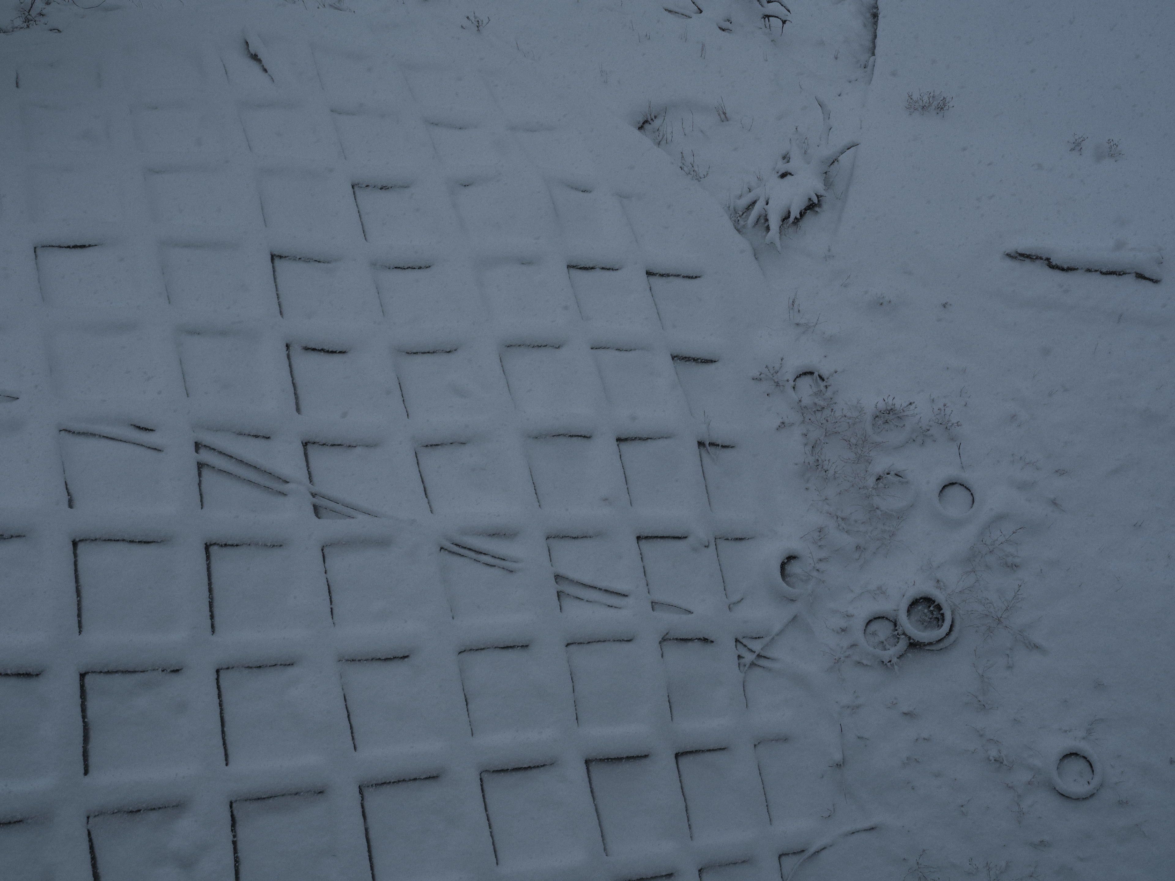
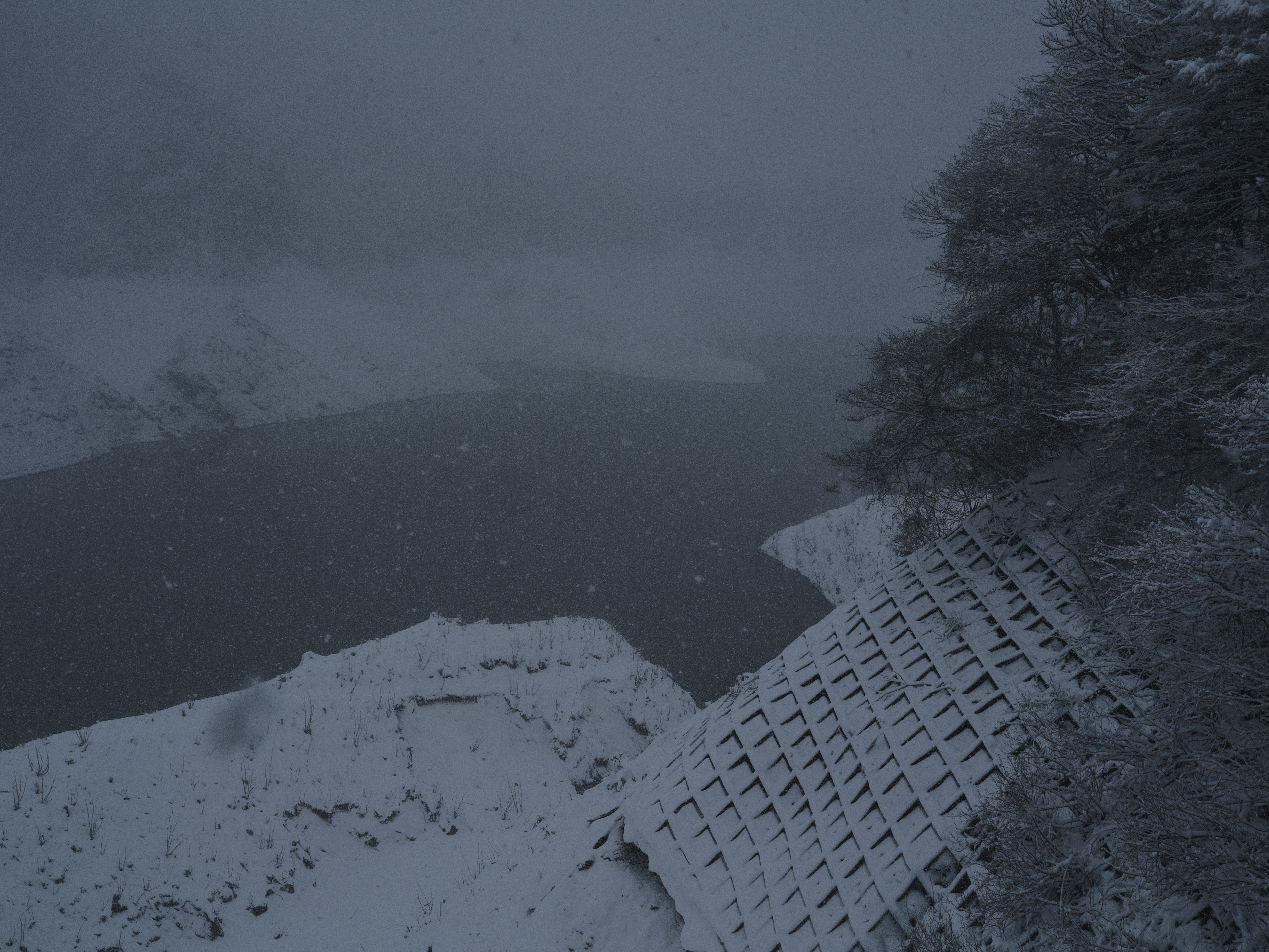
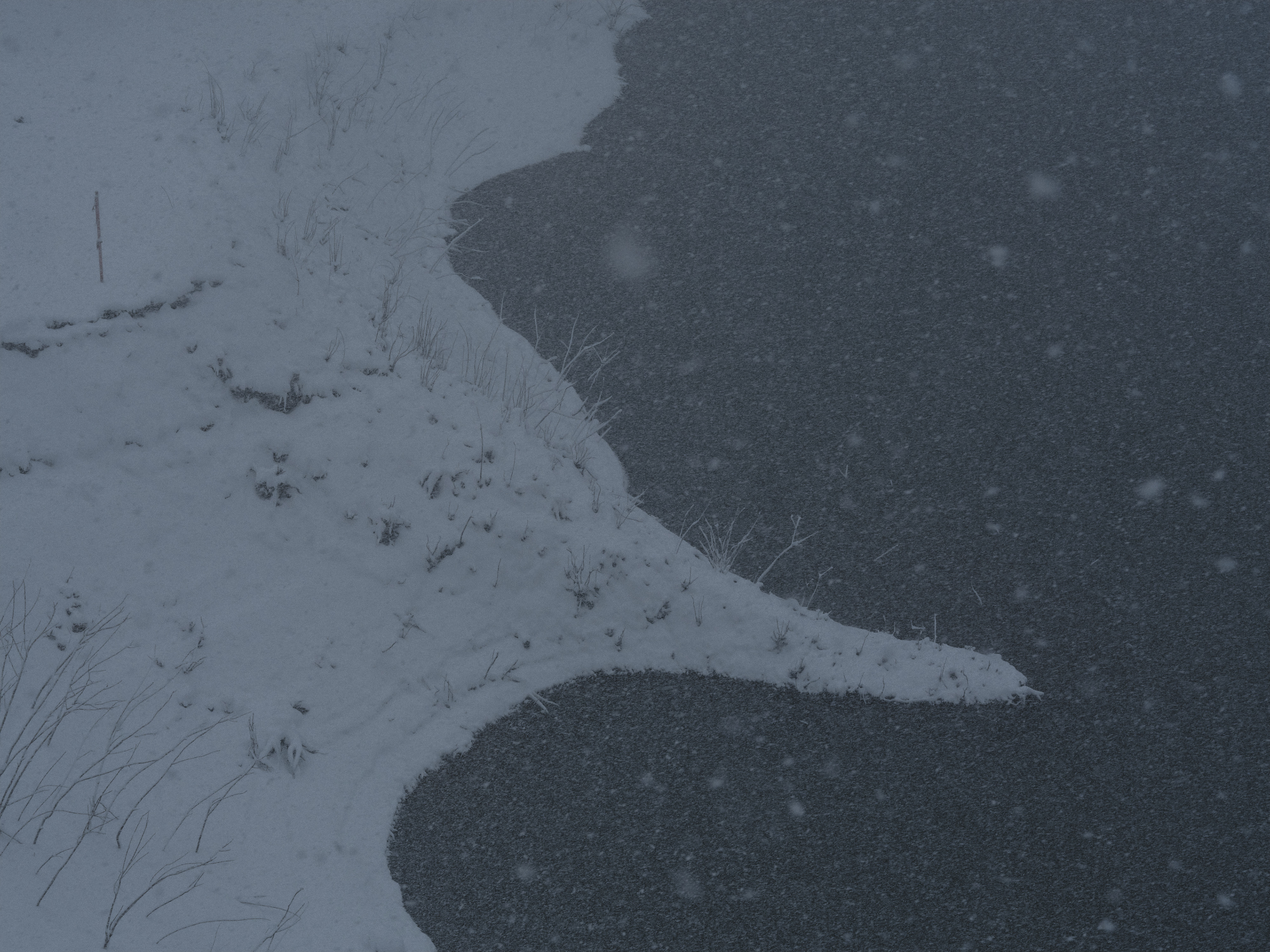
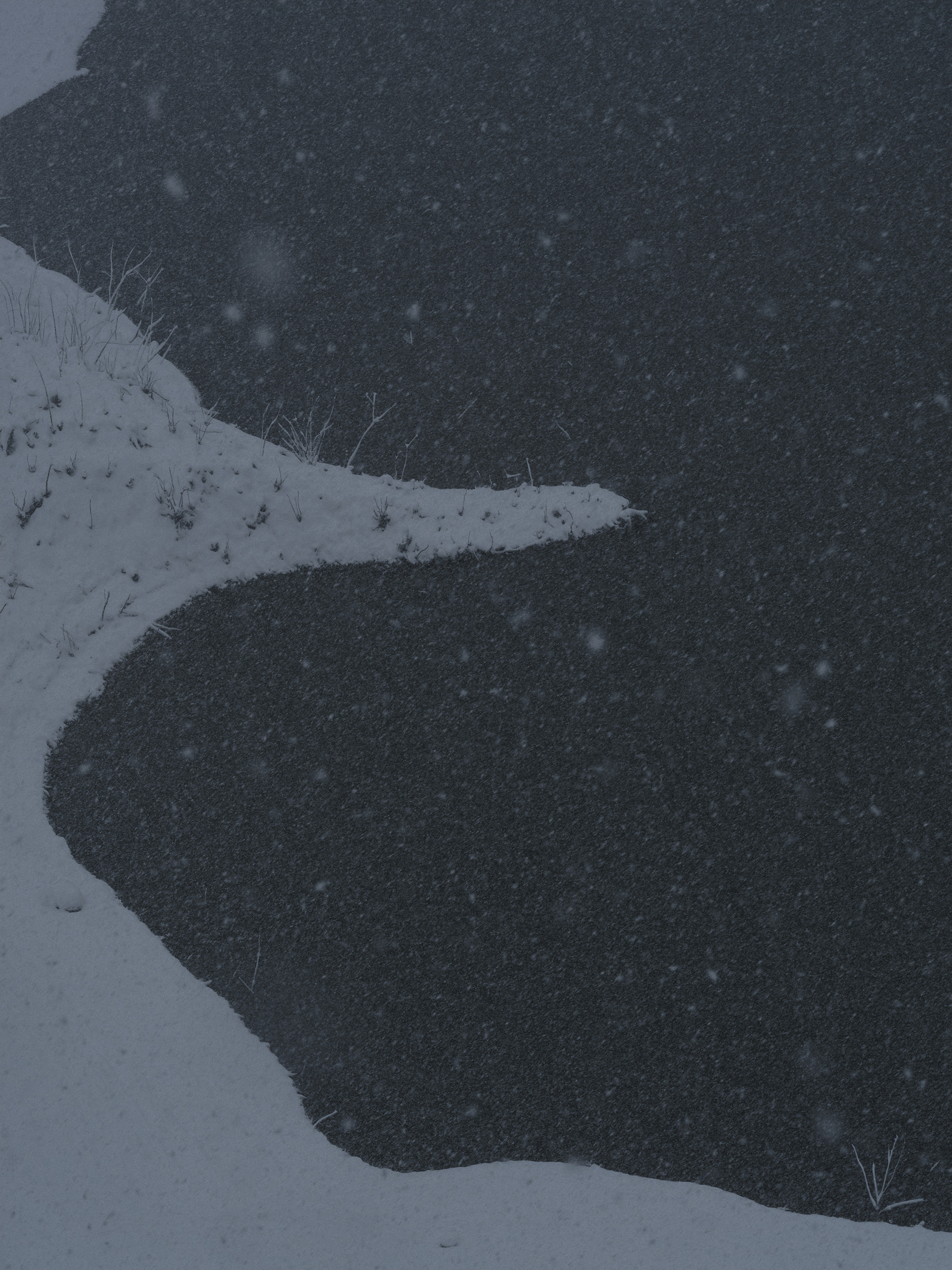
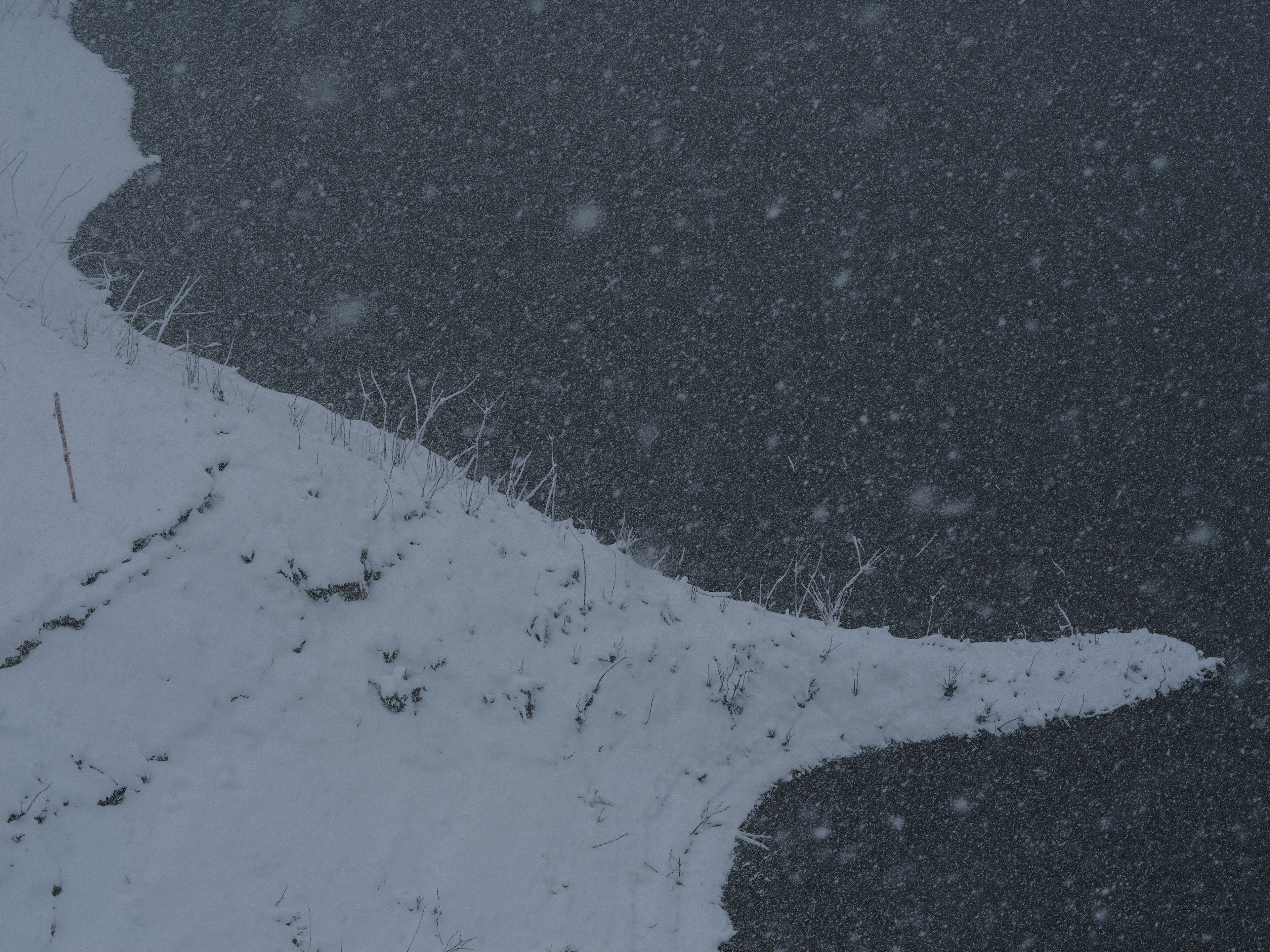
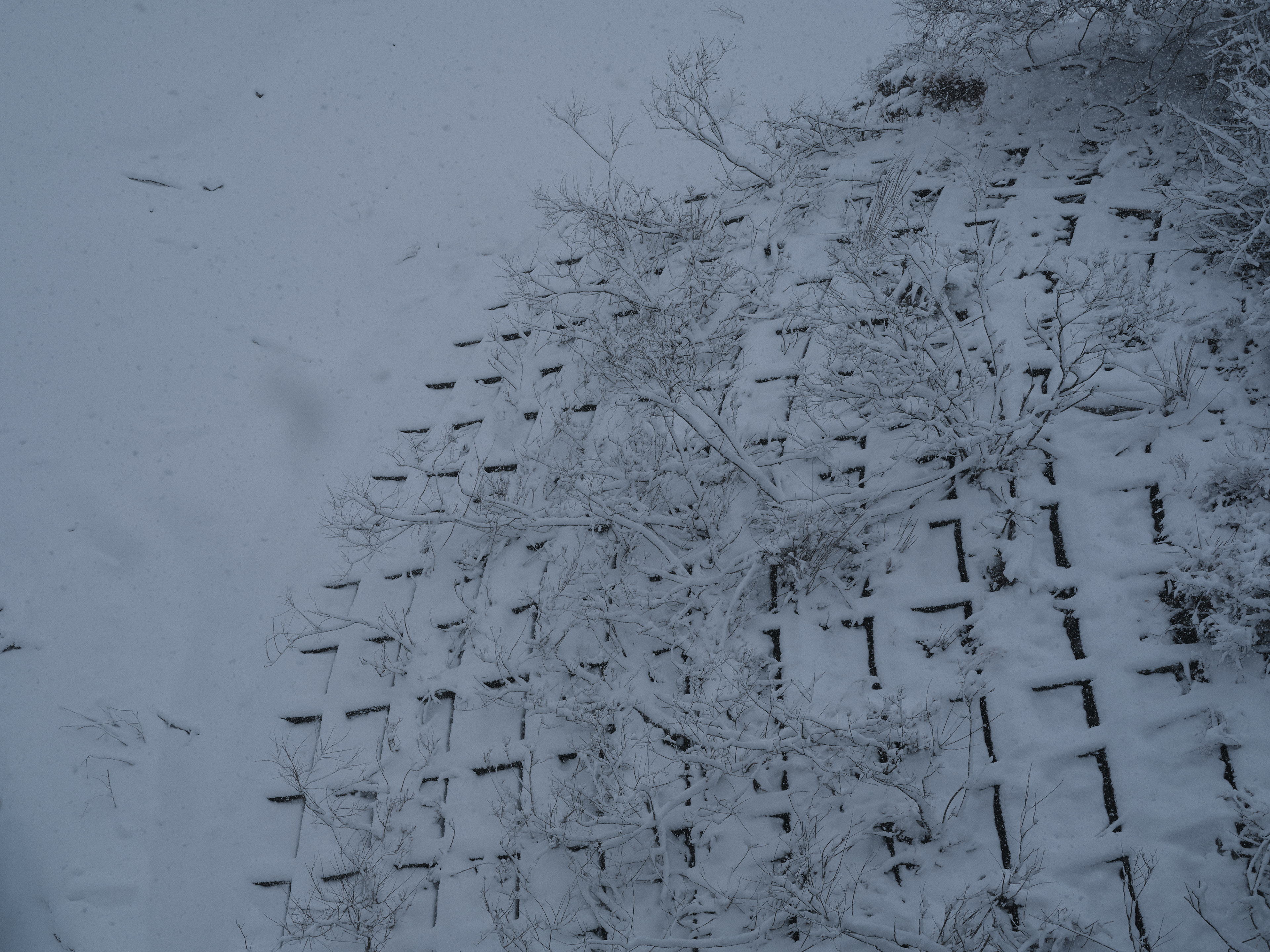
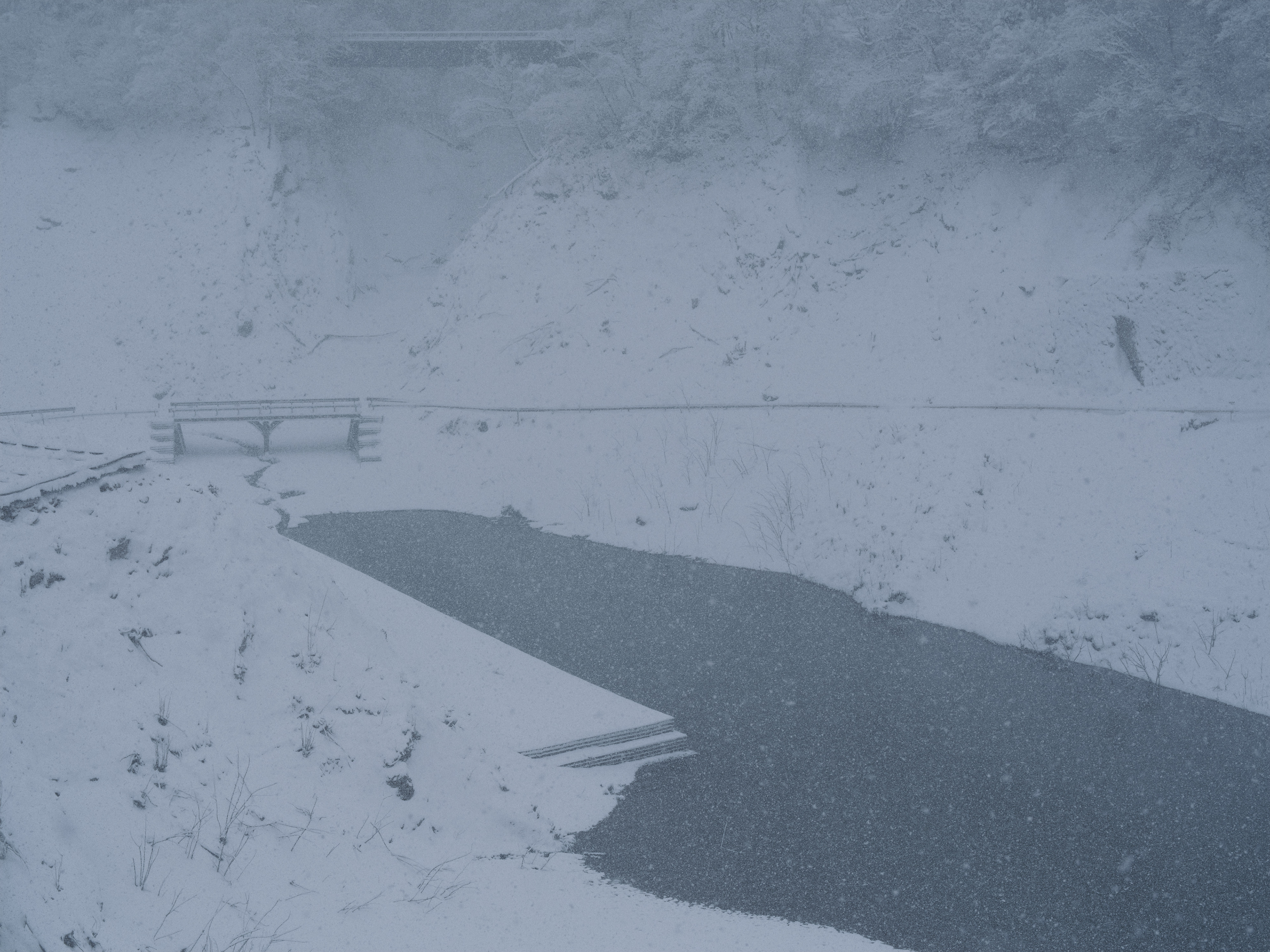
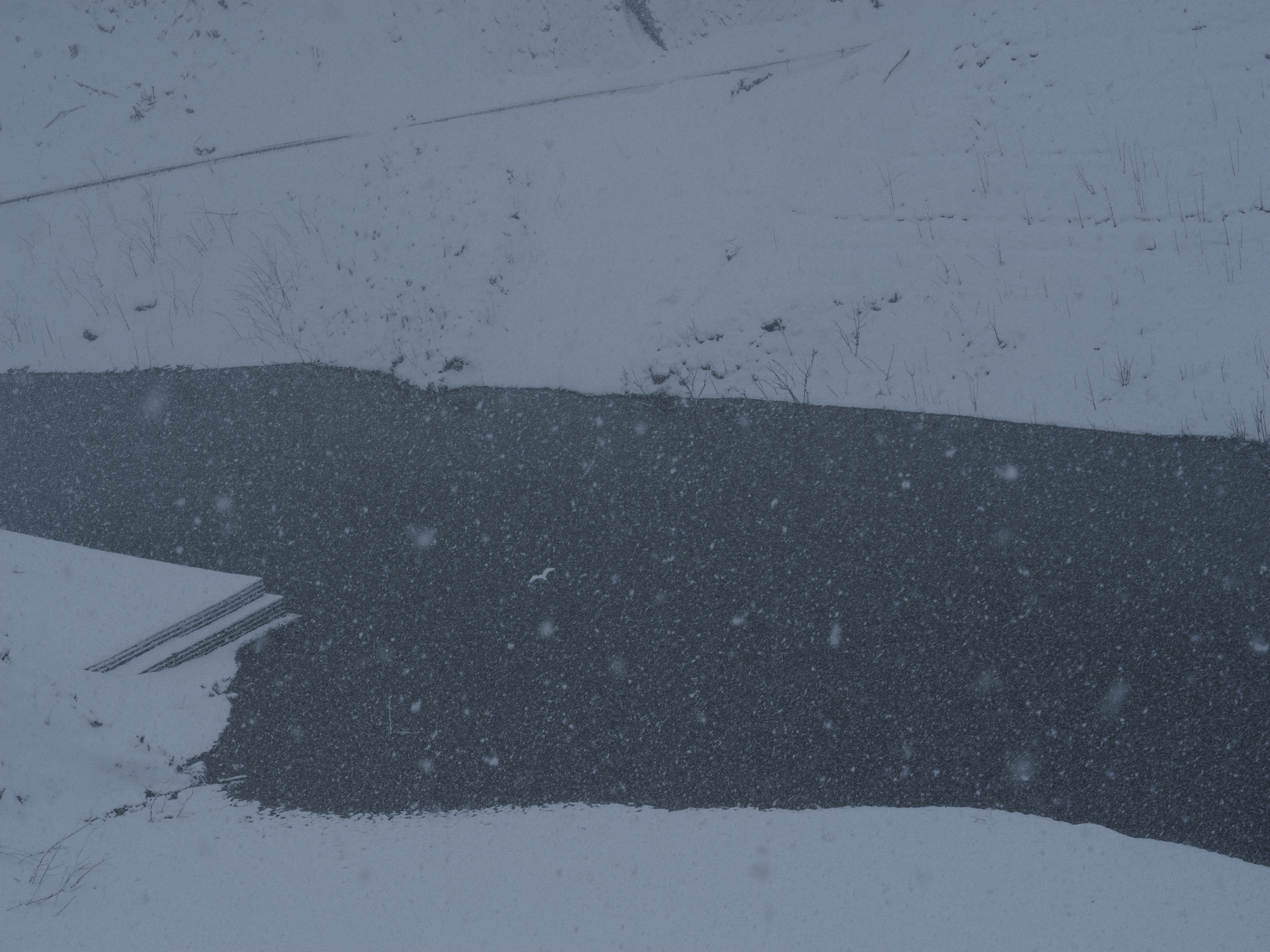
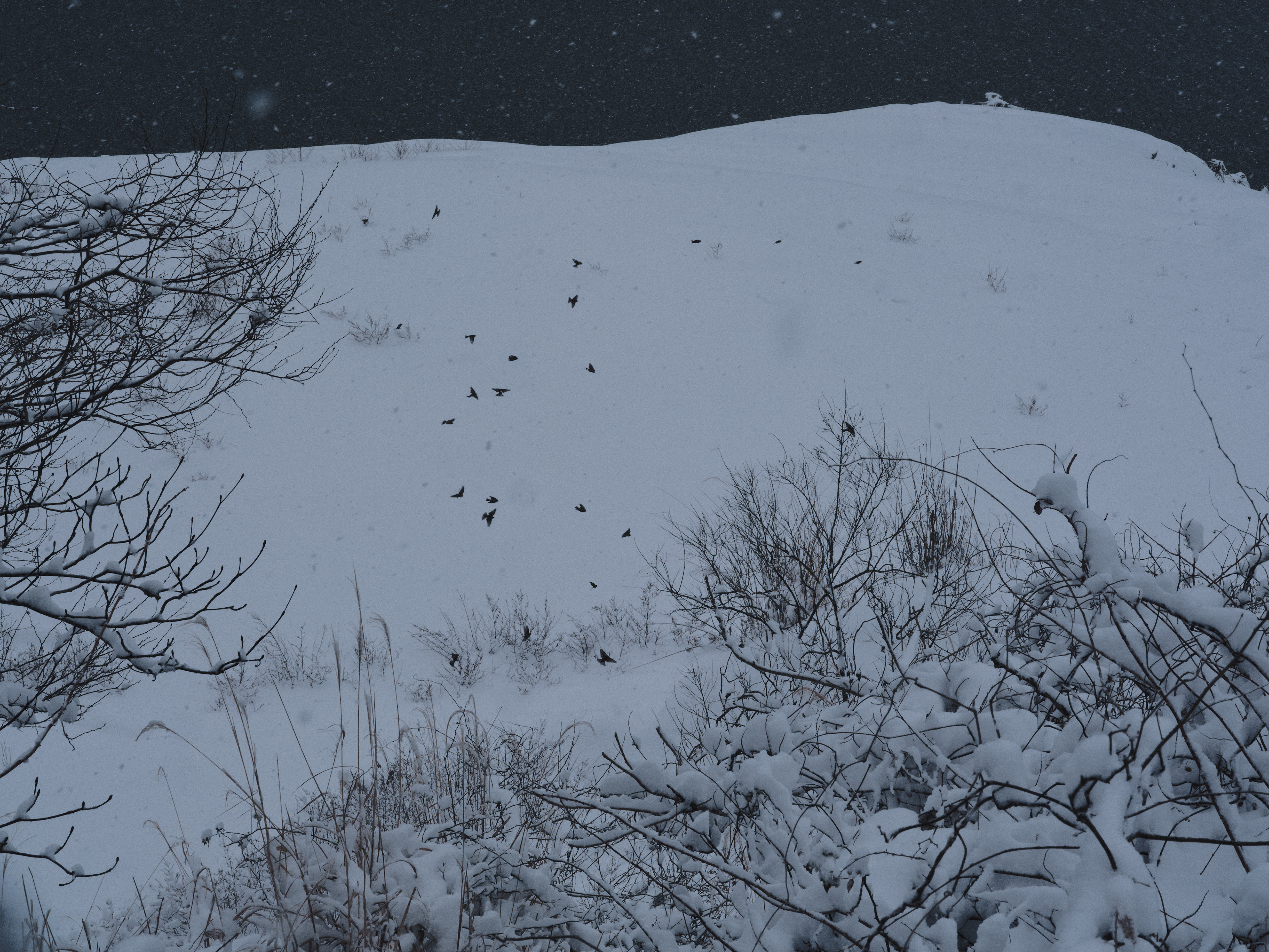
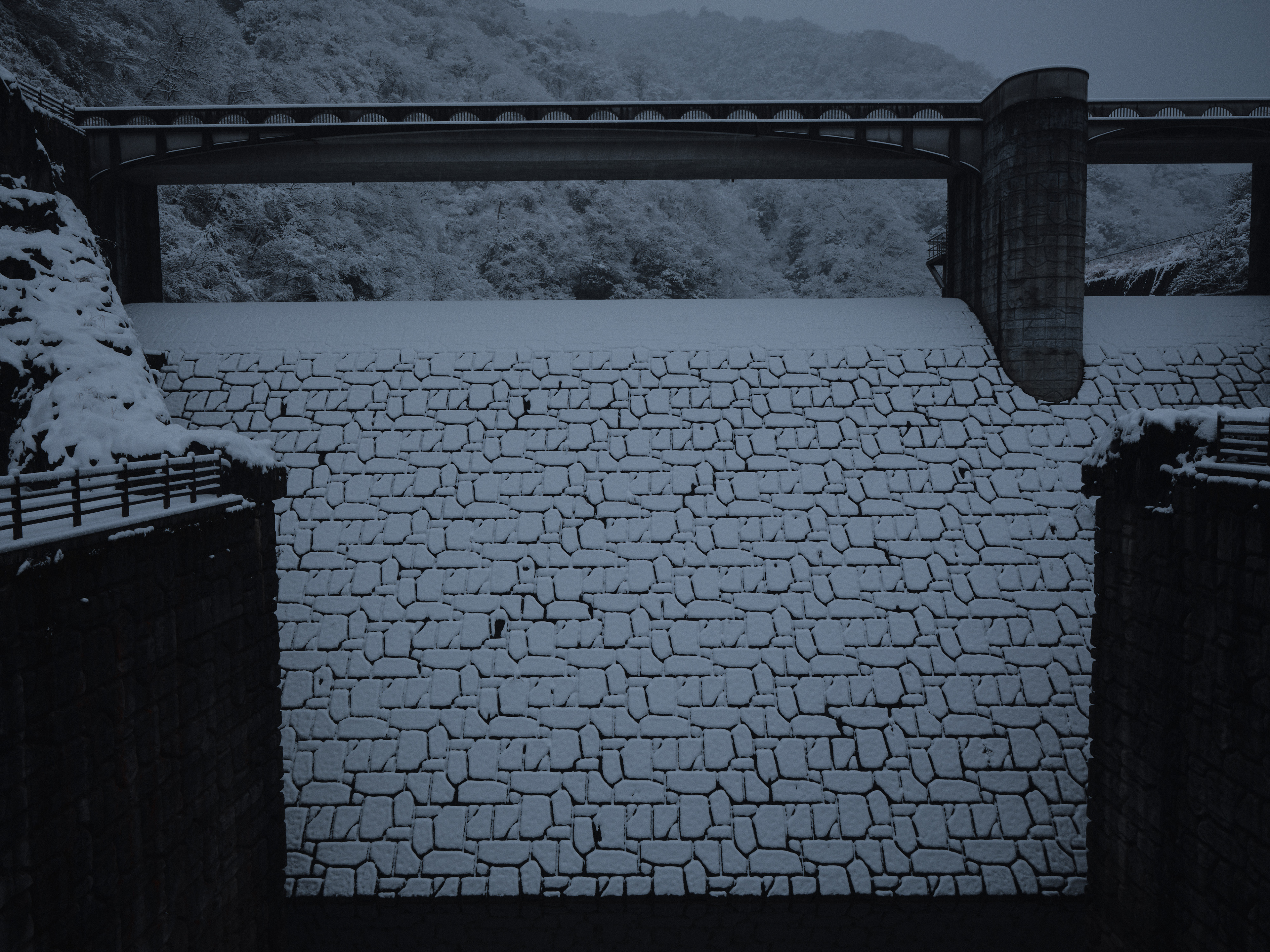
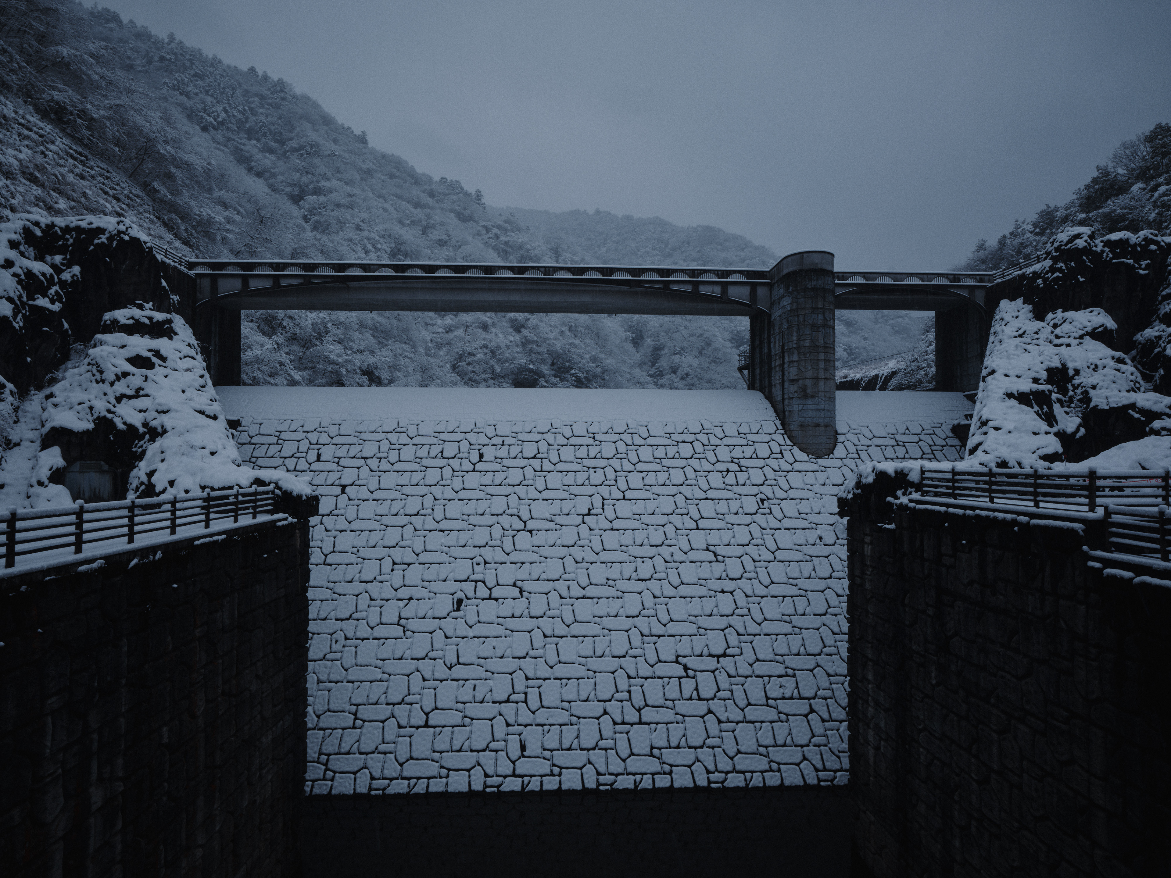
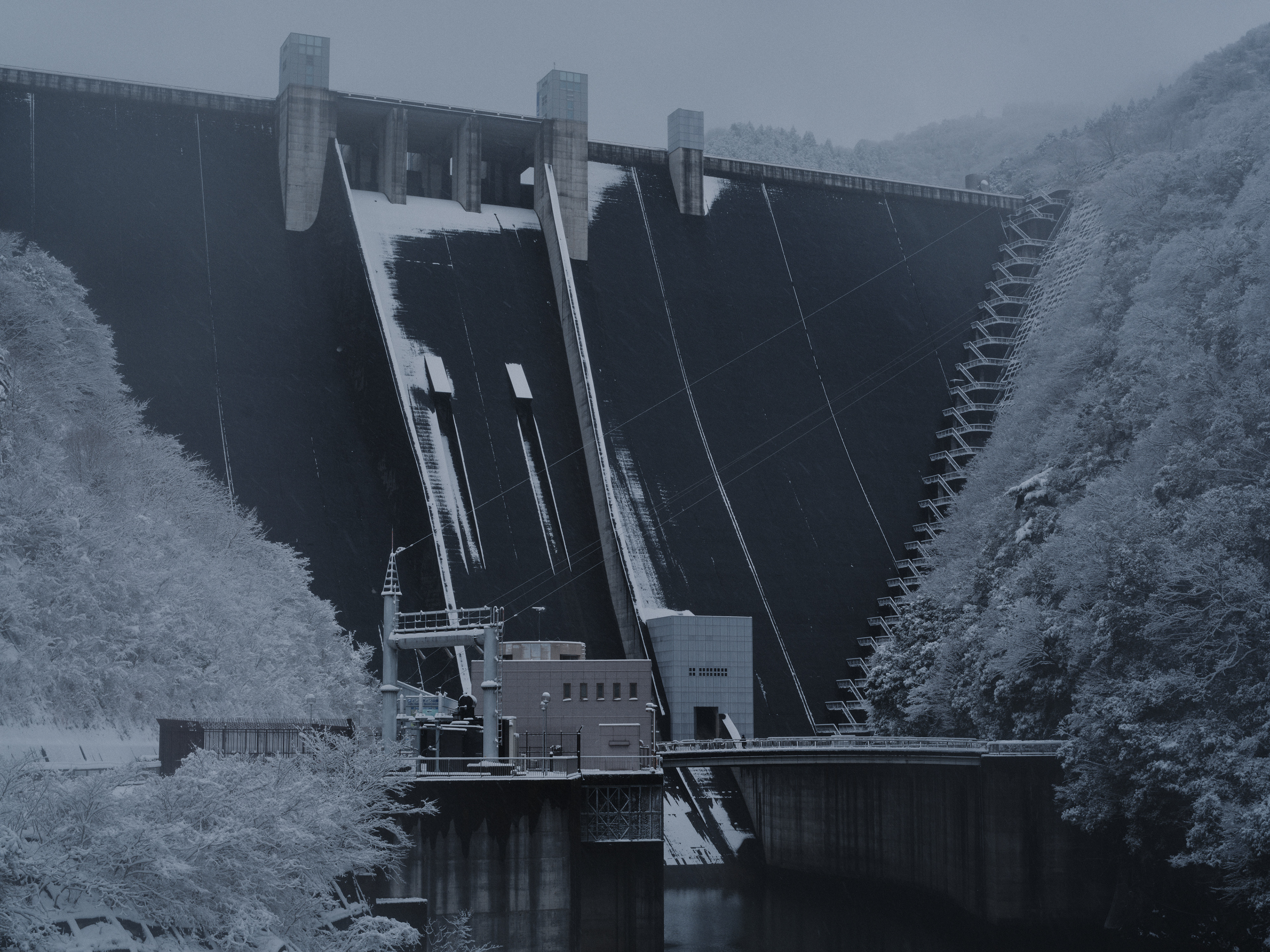
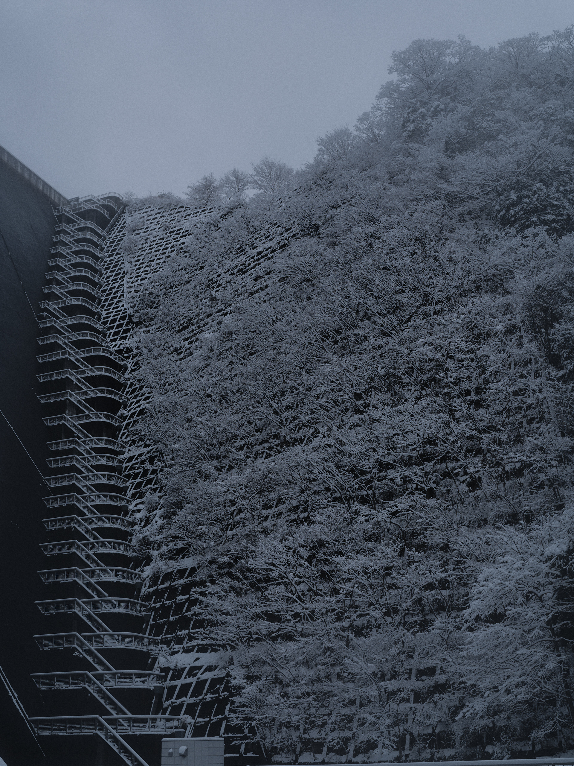
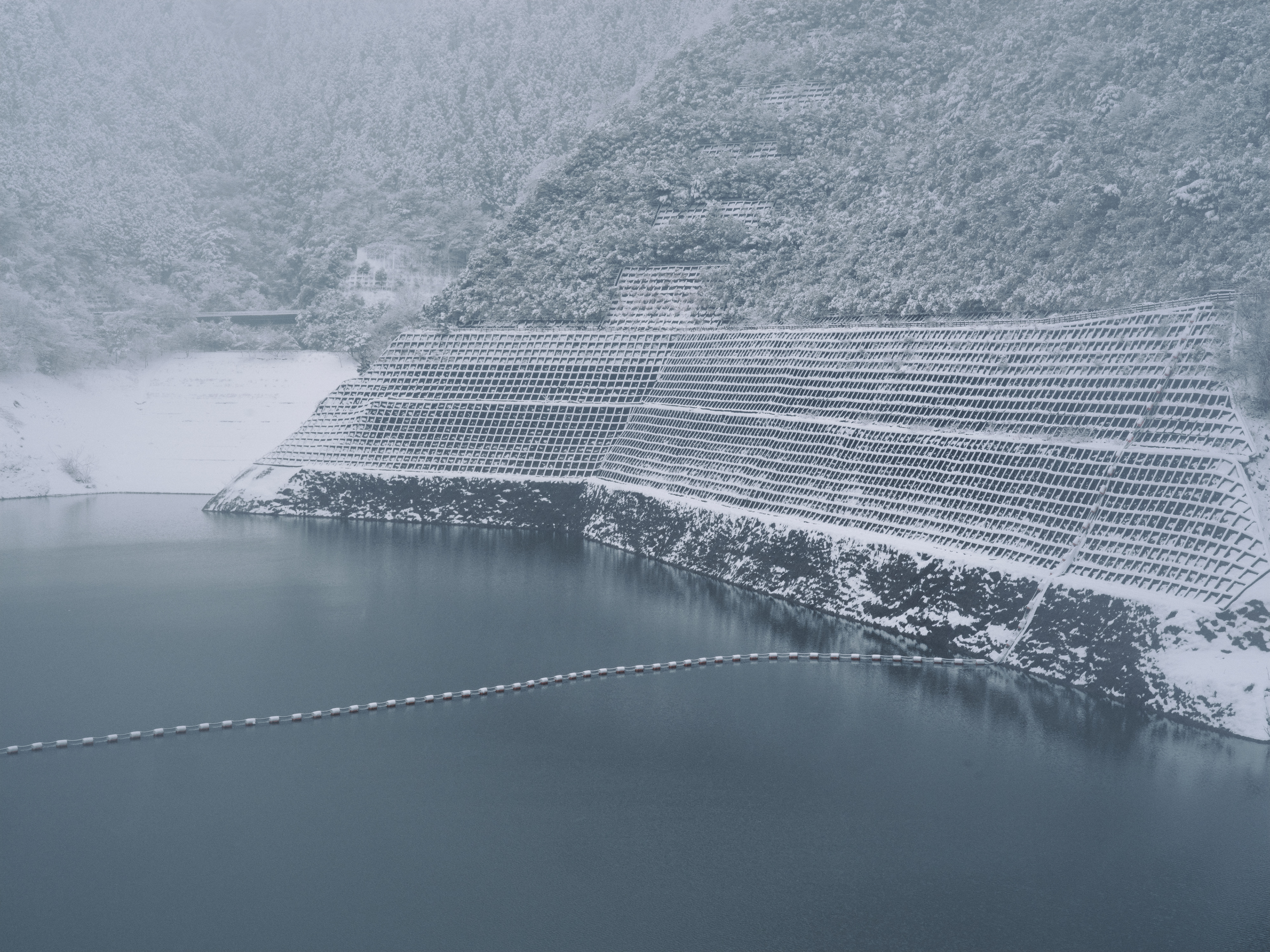
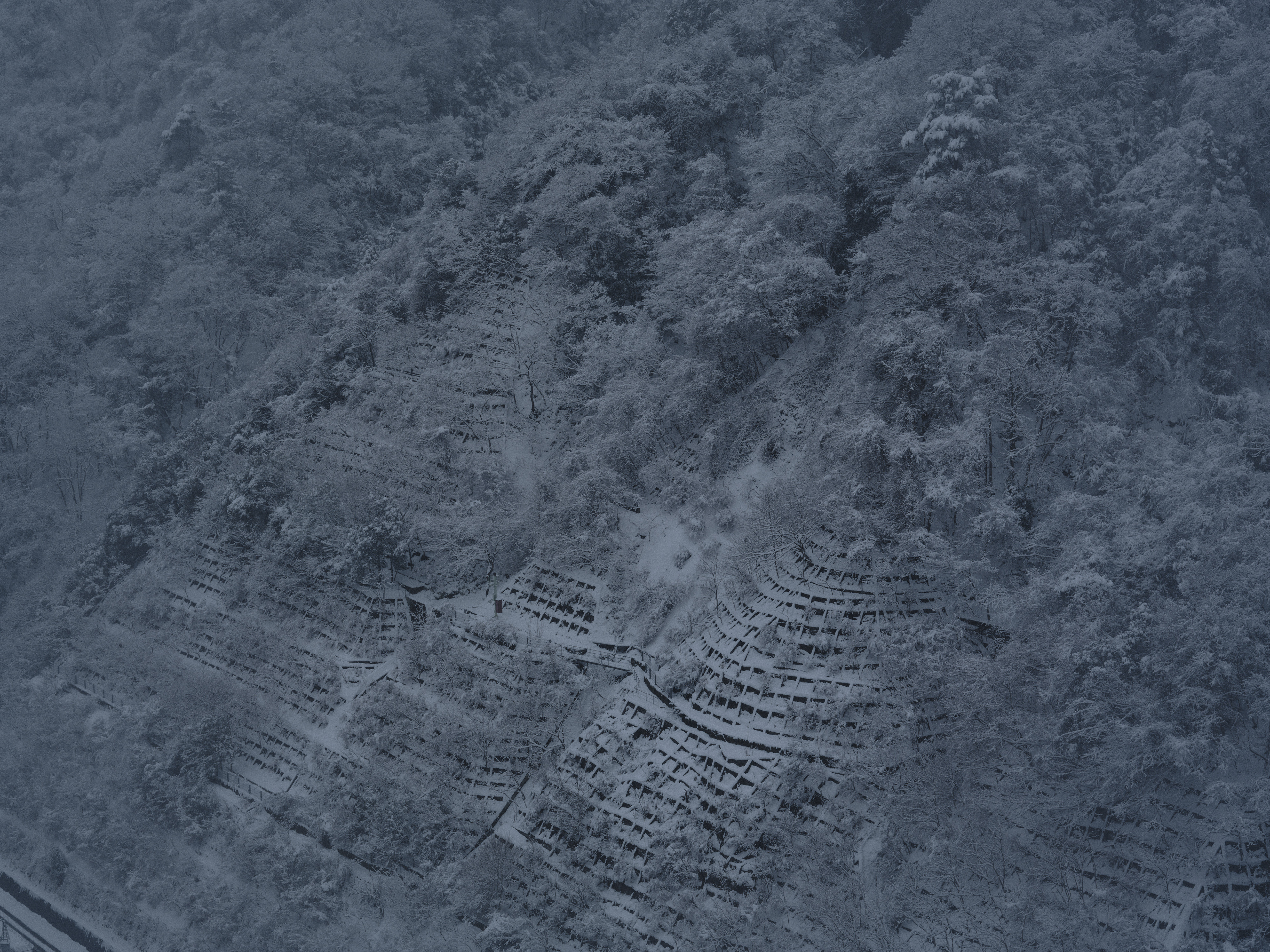
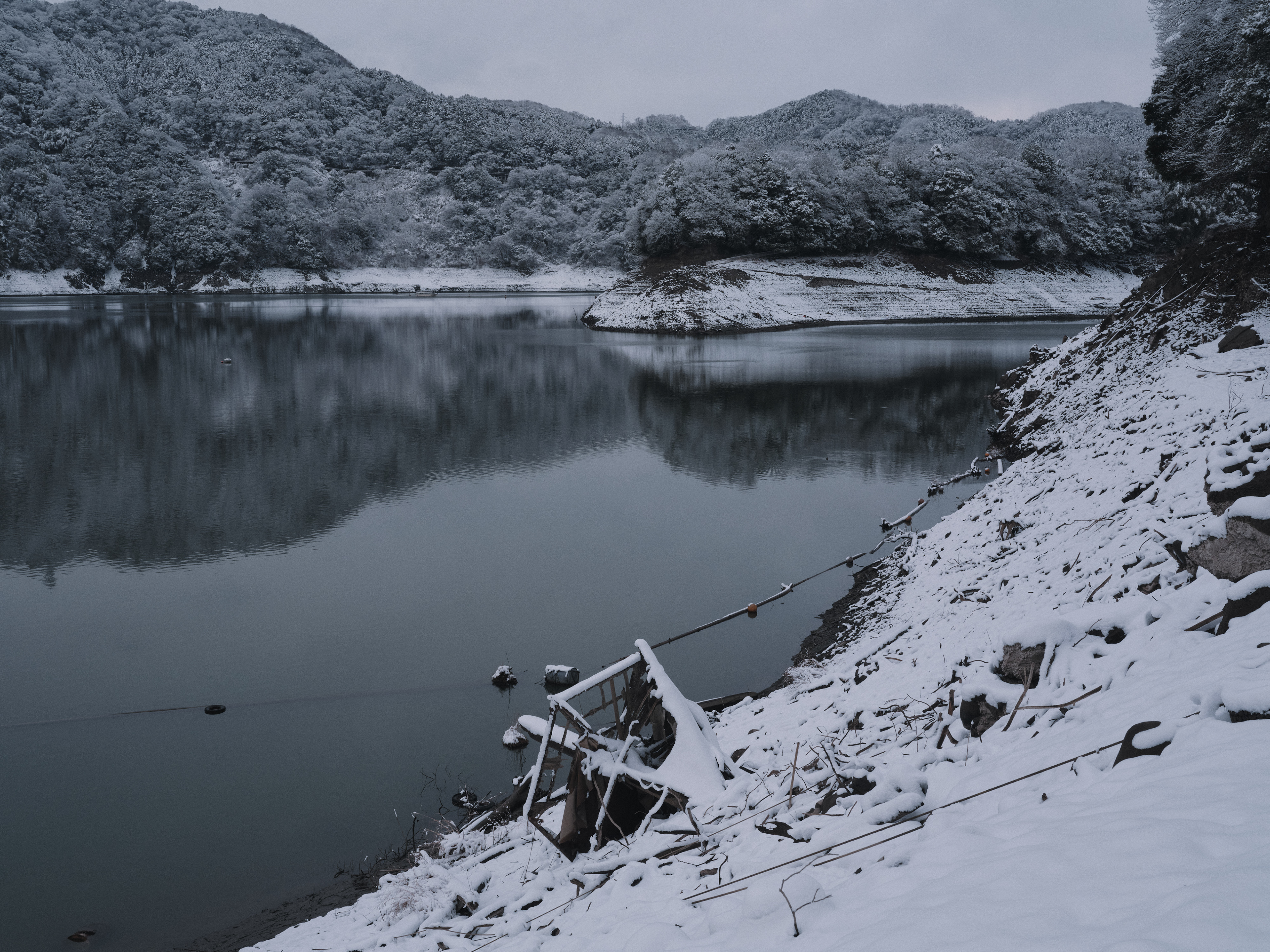
In February 2026, a severe drought—the first in decades—caused Tsukui Lake’s water level to drop sharply. Foundations of a shrine, stonework from a well, and stumps with exposed roots emerged from the lakebed. Water that should have remained under the dam’s control fell beyond the range of management, resembling a condition in which a “lesion” suddenly opens as an unanticipated symptom—something the treatment was never meant to reveal. Snow then began to fall over the newly exposed ground. At Miyagase Lake, the concrete grid of the exposed slope was covered white again, and at Tsukui Lake the outlines of the settlements that had just reappeared were quietly buried by snow. Exposure caused by drought and concealment caused by snowfall overlap in the same place, within the same span of time.
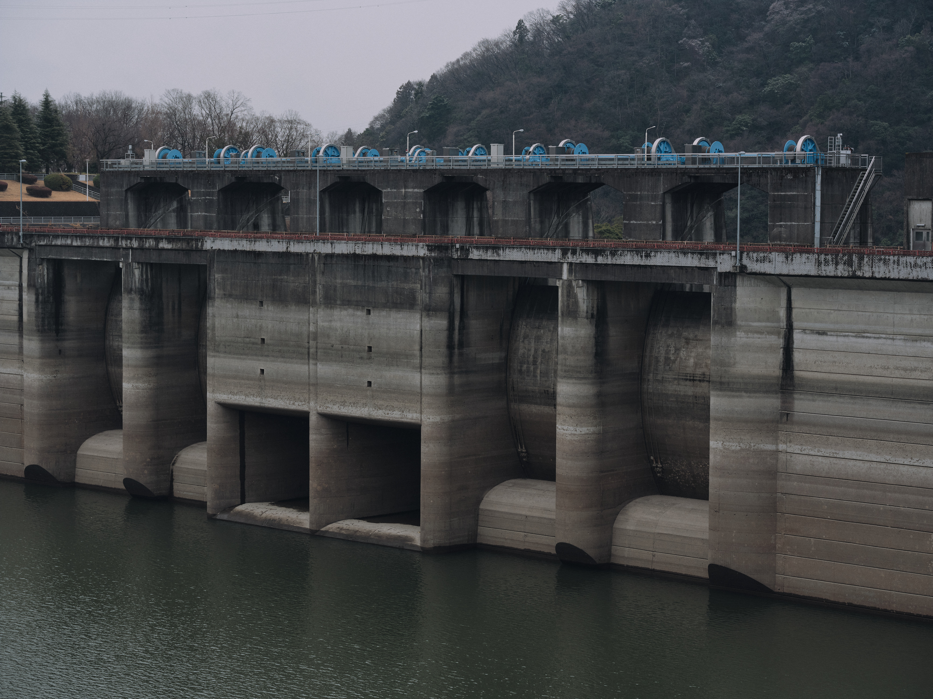
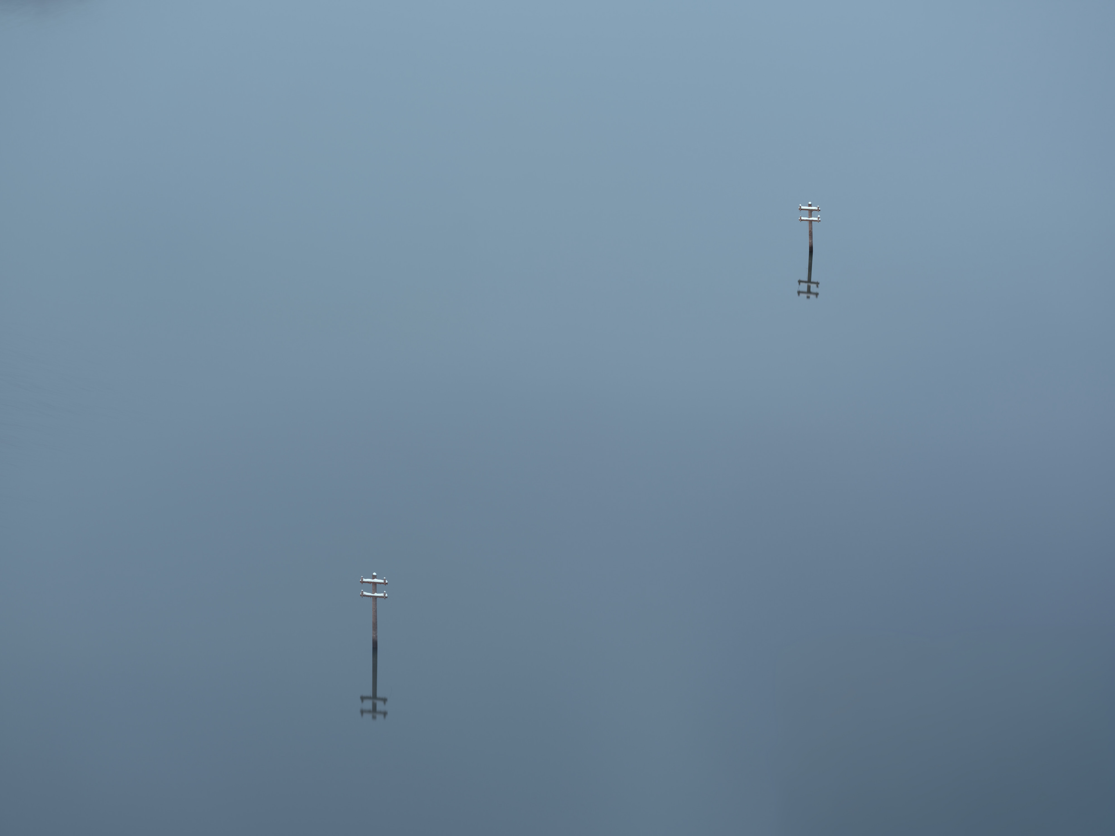
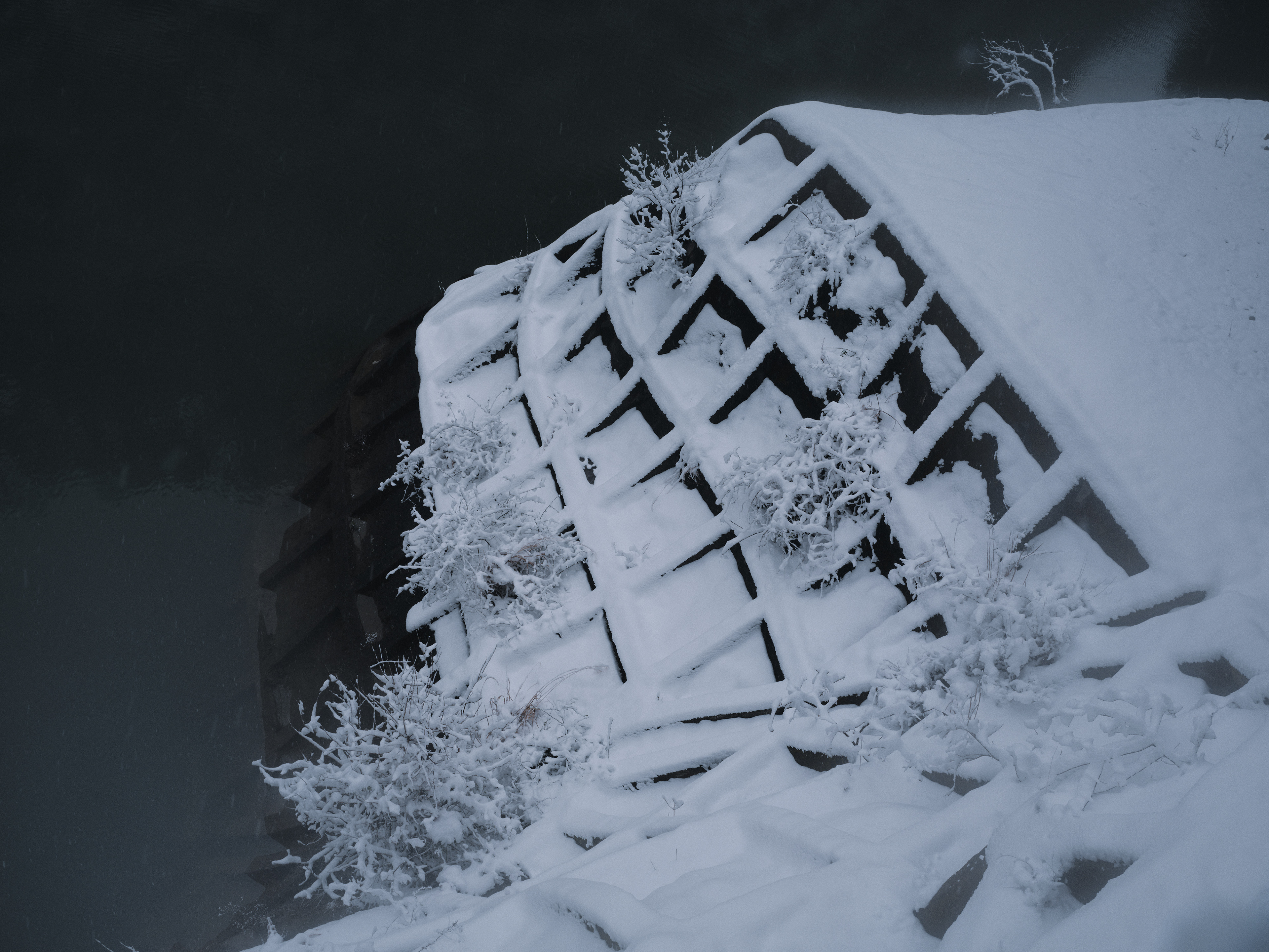
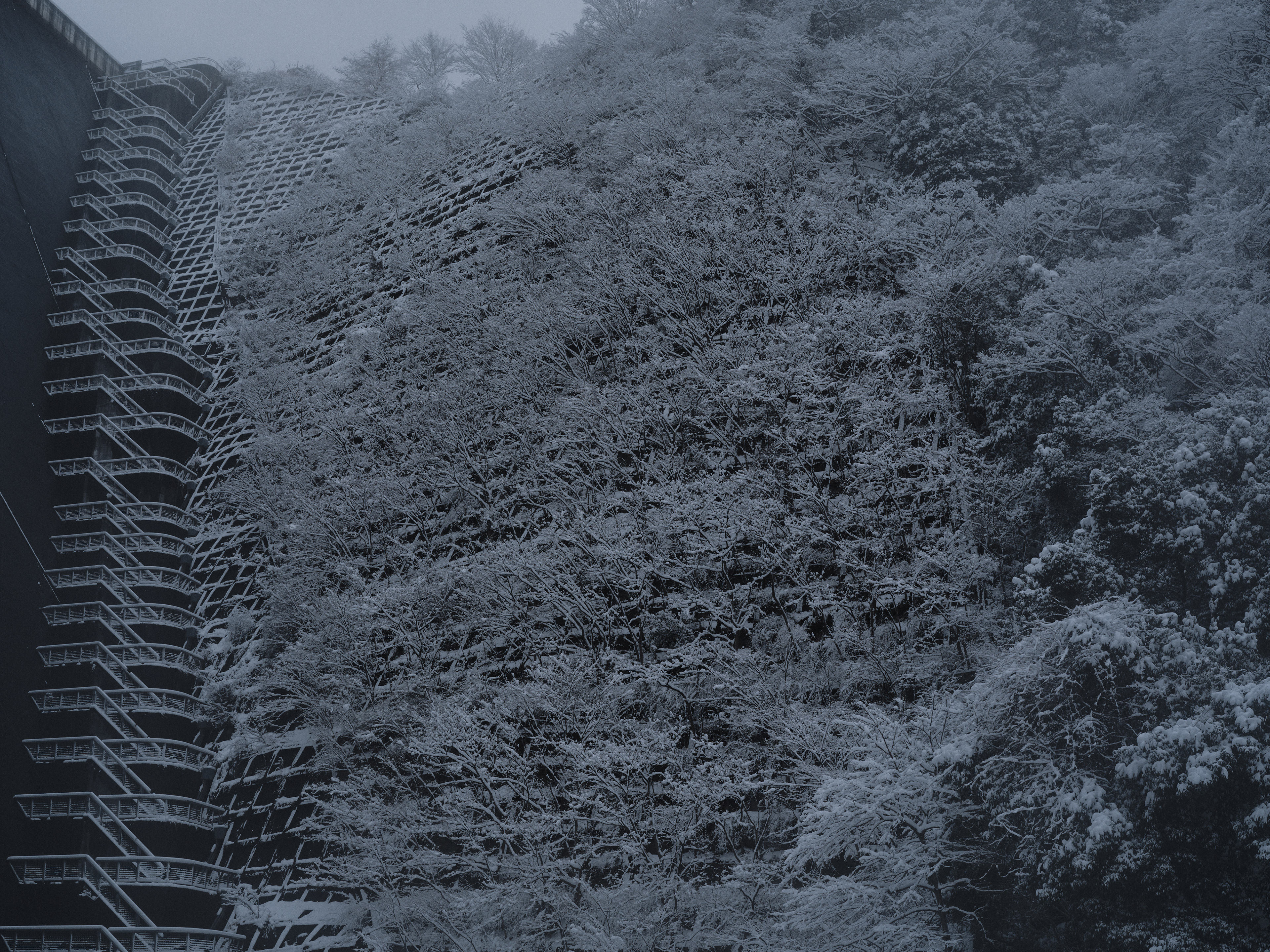
A dam is a device for regulating the uneven distribution of water: it delays shortage and redistributes it so downstream effects do not become decisive. In the context of Nature’s Treatment, this is one form of treatment applied to the land, alongside coastal tetrapods and concrete grids on mountain slopes. Yet inundation as treatment differs from other interventions in that it removes its subject from view altogether. Drought temporarily breaks that invisibility, returning fragments of the process to the surface—waterlines, guardrails from roads that once led to the settlements, and the foundations of a shrine.
Waterline Chart is a project that arranges these oscillations between exposure and concealment as records, one image at a time. The “chart” is both a diagram of water-level fluctuation and a clinical case record for observing the land’s course over time.
津久井湖(城山ダム)と宮ヶ瀬湖(宮ヶ瀬ダム)は、治水のために築かれたダムが水没させた谷間である。荒川集落、中沢集落をはじめとする生活の痕跡は、半世紀以上にわたって水面の下に保存されてきた。
2026年2月、数十年ぶりの渇水により津久井湖の水位が大きく下がった。神社の基礎、井戸の石組み、根を剥き出しにした切り株が湖底から現れた。ダムの管理下にあるはずの水が管理を超えて減り、治療が想定しなかった症状として「患部」が不意に開いた状態に似ている。渇水が湖底を剥き出しにしたその上から、雪が降りはじめる。宮ヶ瀬湖では露出した法面のコンクリート格子が白く覆い直され、津久井湖でも現れたばかりの集落の輪郭を雪が静かに埋めていく。渇水による露出と降雪による被覆が、同じ場所で、同じ時間のうちに重なる。
ダムは水の偏りを調整する装置であり、下流への影響が決定的にならないよう不足を遅らせ、分配し直す。Nature's Treatmentの文脈においてそれは、沿岸のテトラポッドや山腹の法面と同様、土地に施された治療の一形態である。ただし水没という治療は、他の手当てと異なり、対象そのものを視界から消す。渇水はその不可視を一時的に破り、水位線、集落へ続いていた道路のガードレール、神社基礎といった経過の断片を地表に戻す。
Waterline Chartは、この露出と被覆の往復を一枚ごとの記録として並べるプロジェクトである。Chartは水位変動の図表であると同時に、土地の経過を観察するカルテでもある。